OUR SERVICES
Aerial Inspections
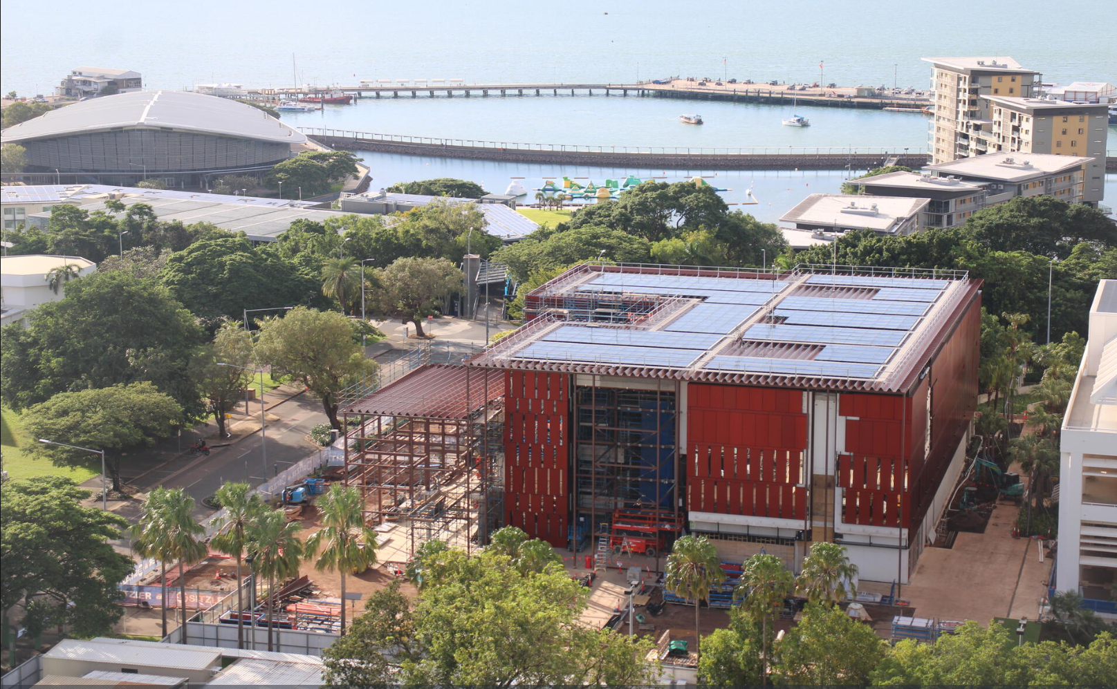
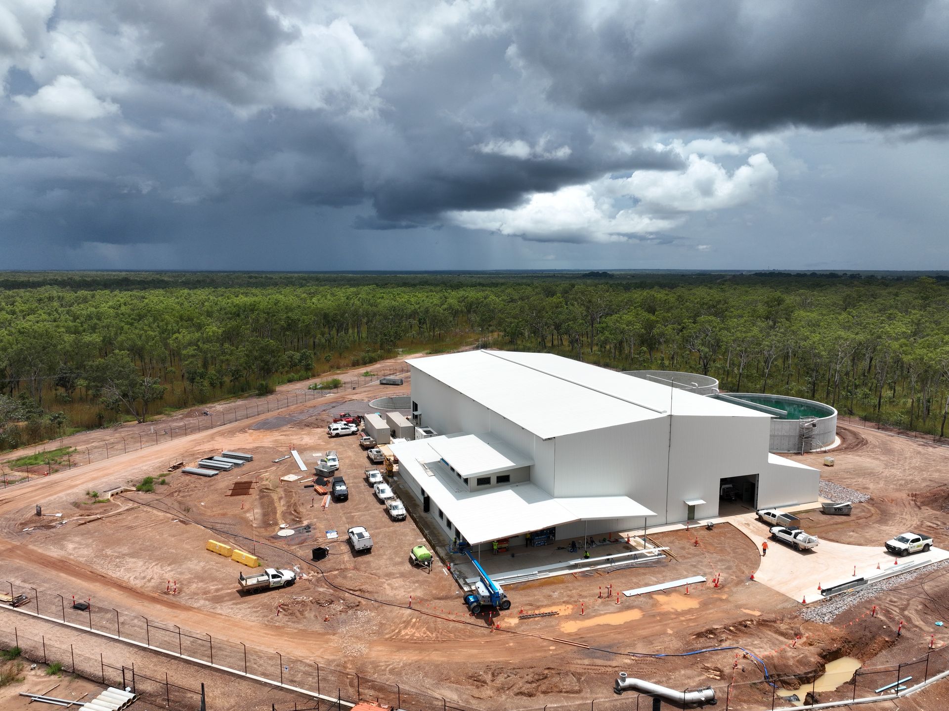
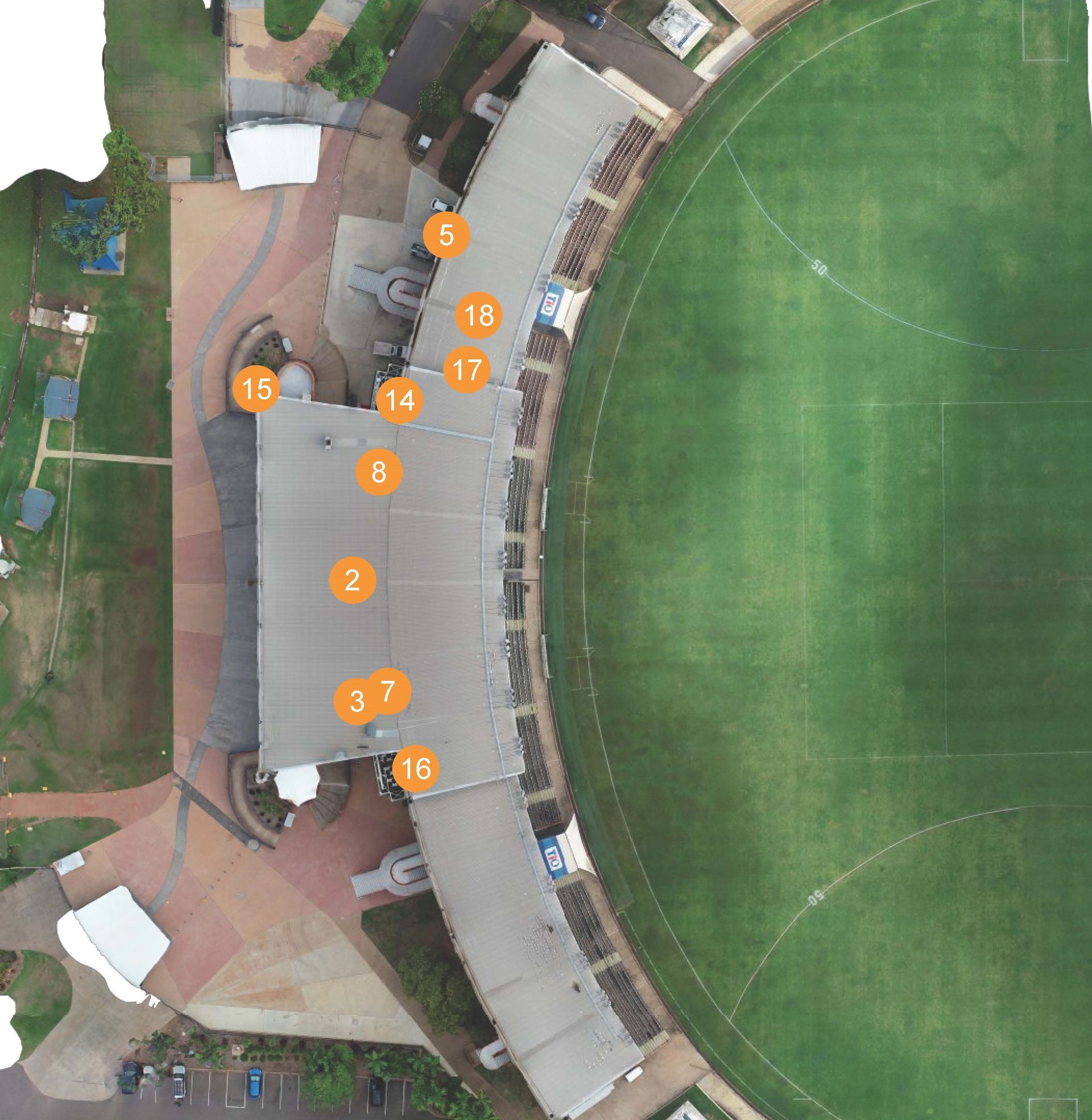
CASE STUDIES: PWC Progress Reporting | Remote Asset Pilot | TIO Stadium | Groote Eylandt
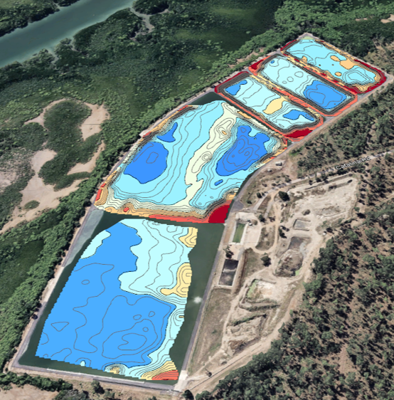
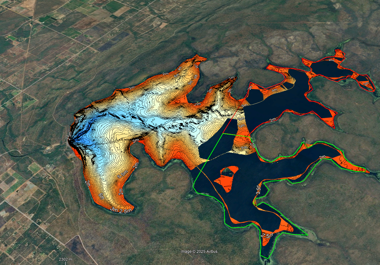
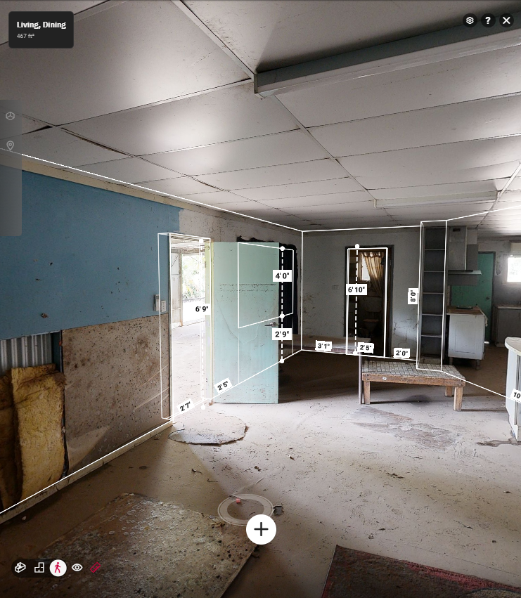
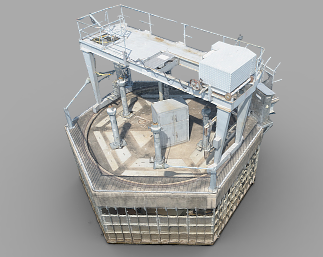
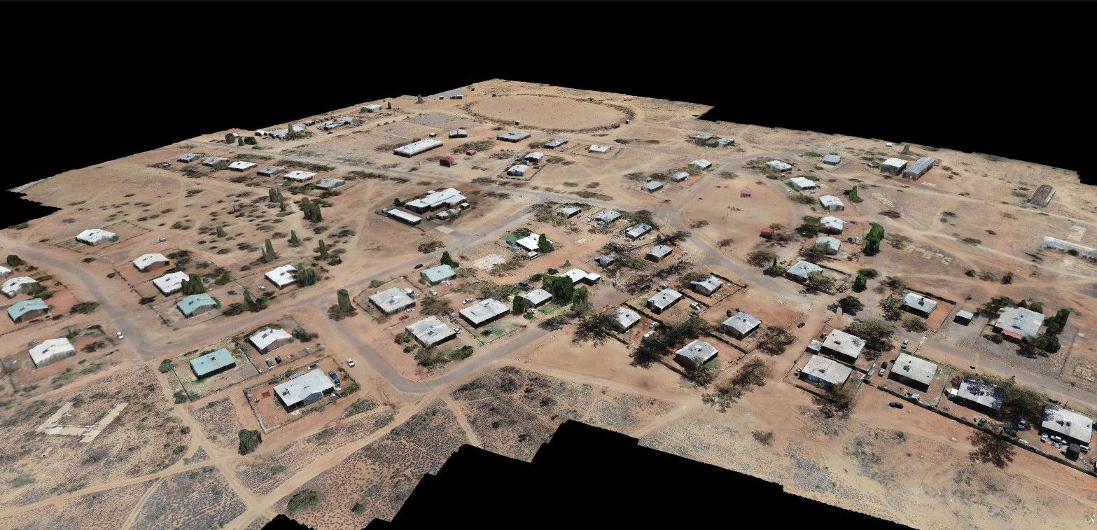
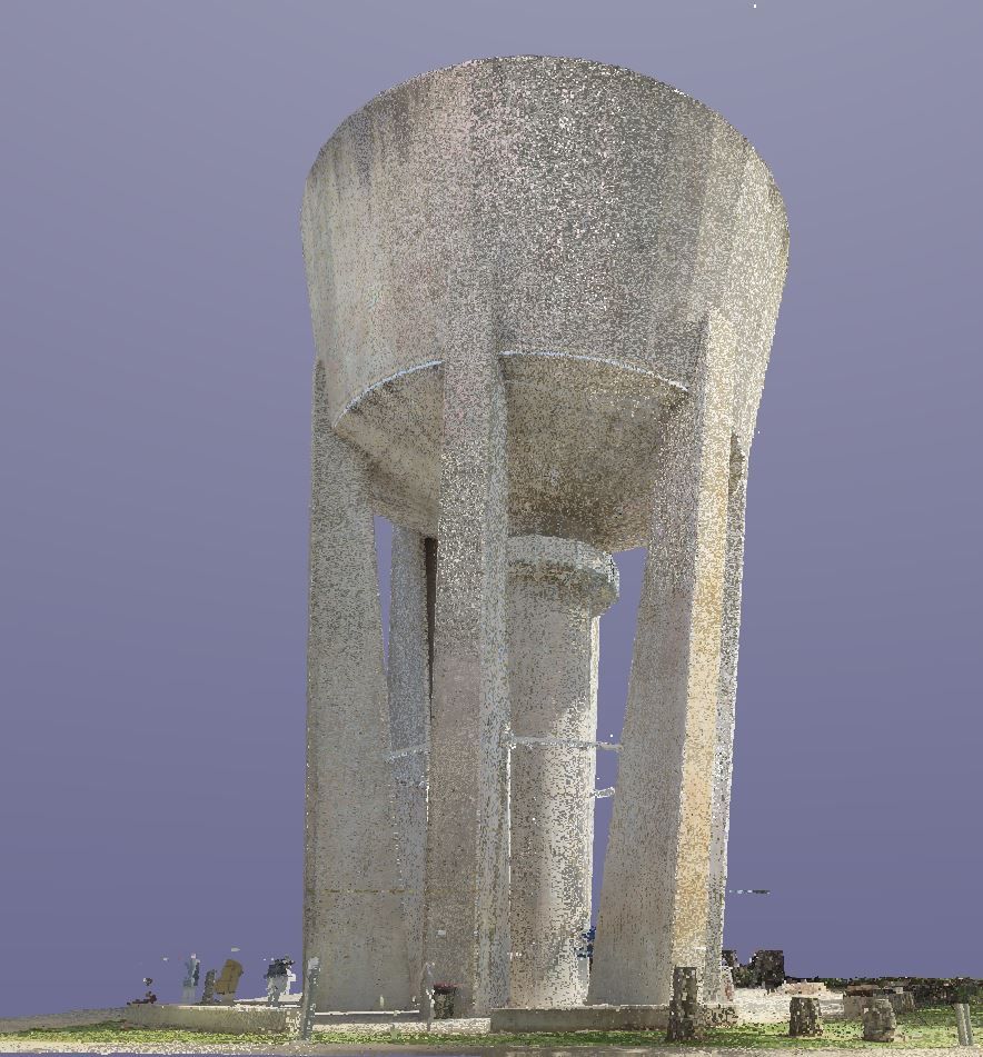
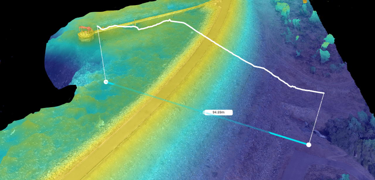
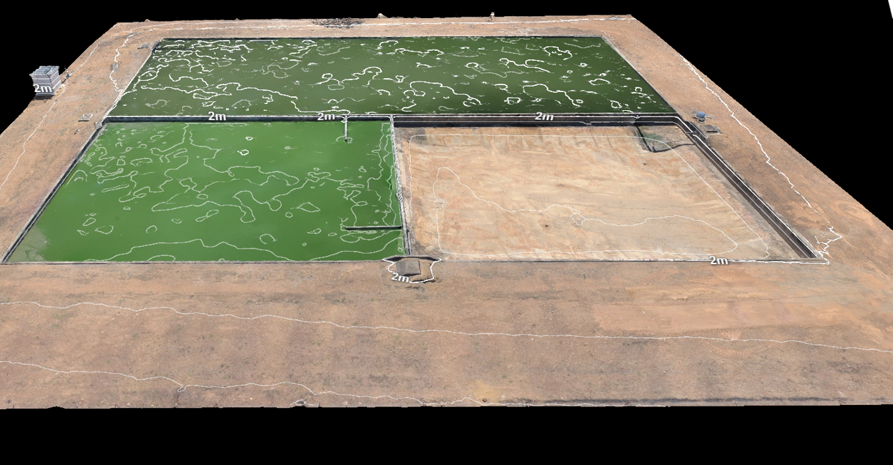
Using UAV (unmanned aerial vehicle) aerial drones removes the risk of inspecting at heights and is more efficient and cost effective for inspecting large infrastructure and sites than traditional methods. Data collected can be exported into a number multiple formats including:
Rise holds a Remote Operator Certificate (ReOC) and a Defence RPAS (Darwin International Airport) which allows us to apply to CASA to fly within restricted air space. All our aerial drone pilots hold a Remote Pilot Licence (RePL).
Our services