


Northern Australian
Asset inspection and visualisation services
How we can help

When you can't be there; we bring it to you.
We use industry leading
technology to let you
see or inspect remote sites, artefacts, buildings and landscapes.
We work with a range of clients
Construction | Environmental | Government | Land Councils | Insurance | Mining | Utilities
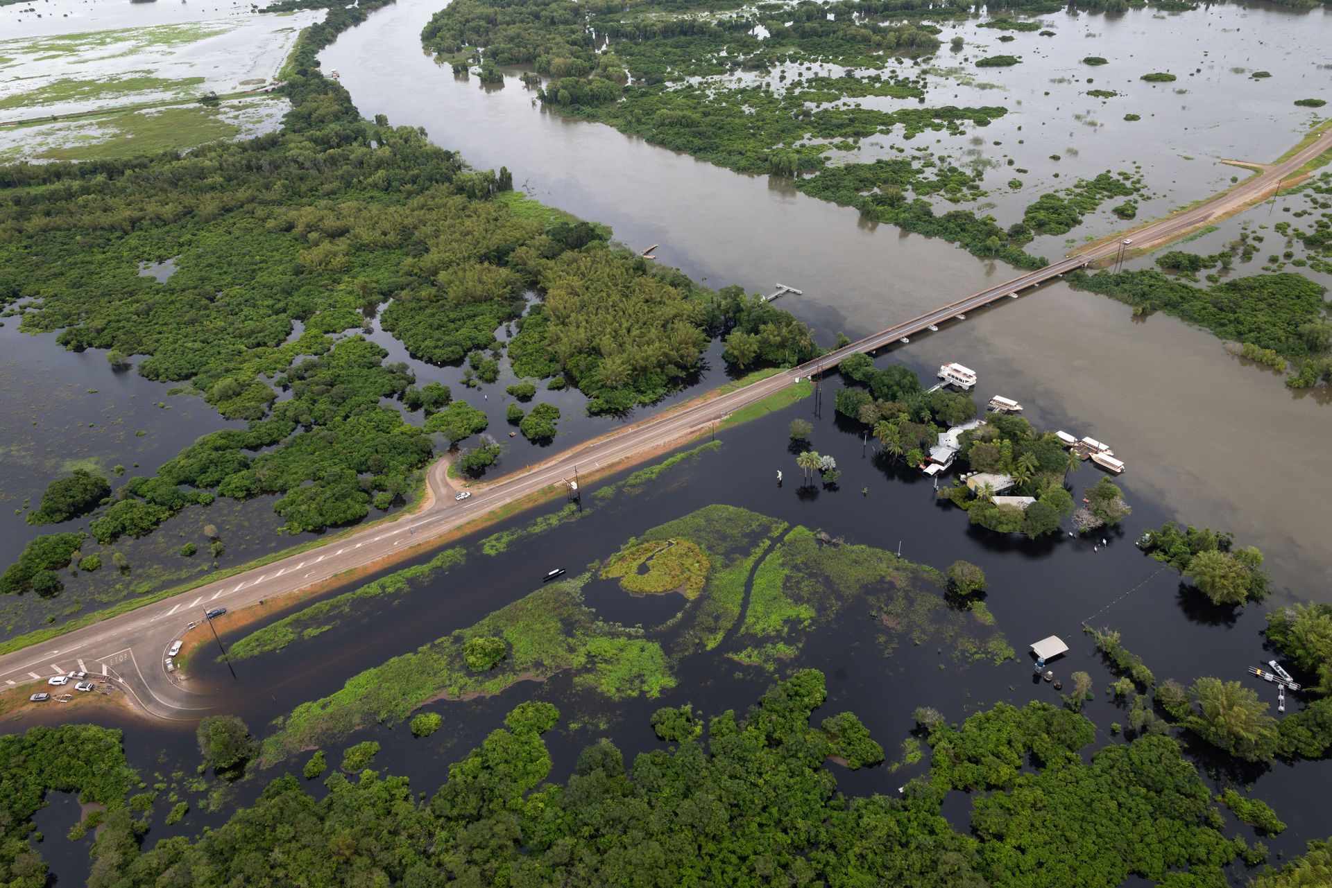
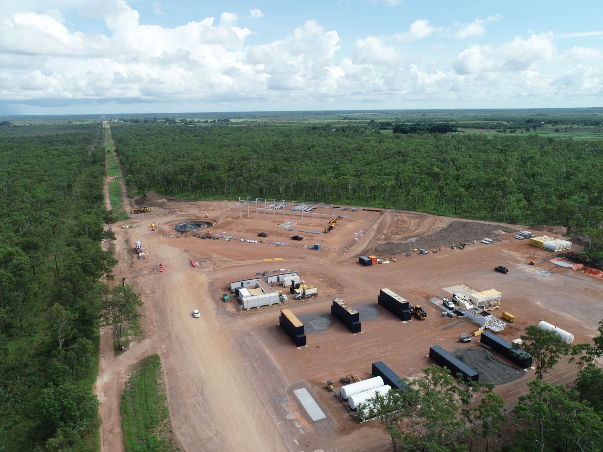
Client: Sedgewick
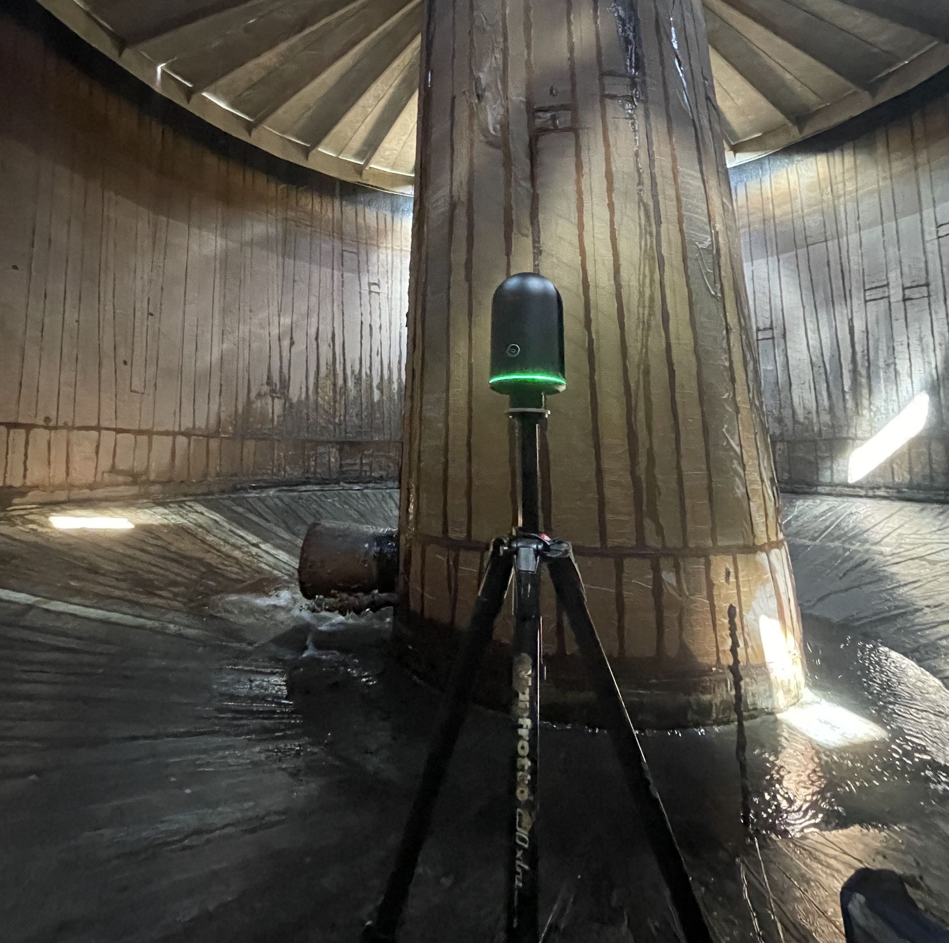
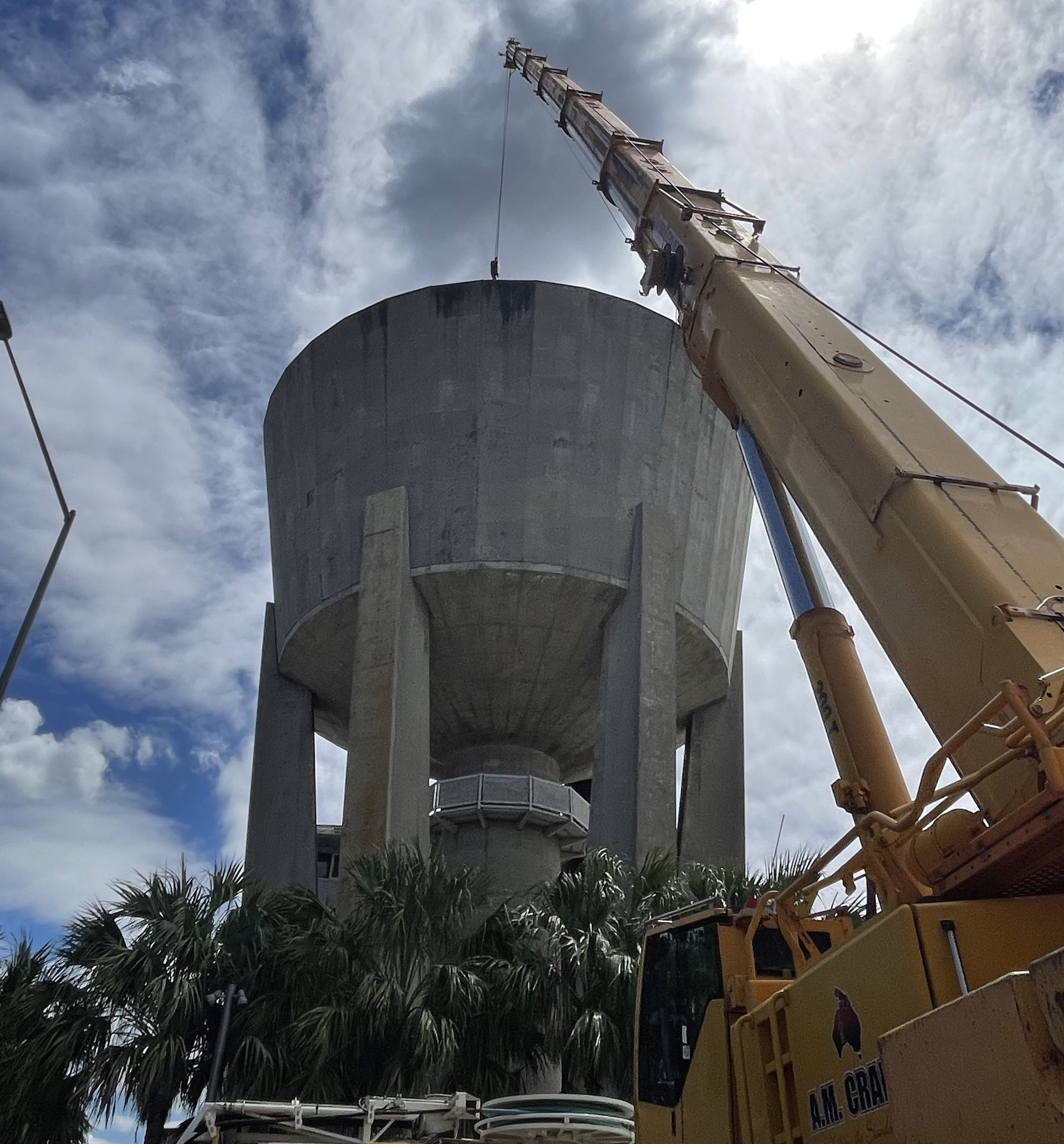
Client: Power Water Corporation
Client: Power Water Corporation
Our insights
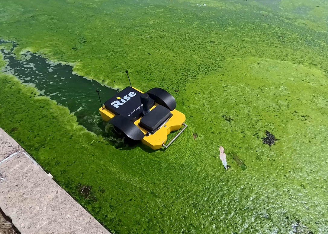
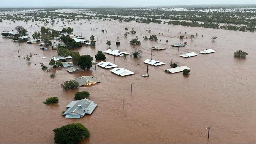
USV and ROV drones for hydrological surveys
Tropical tough technology
Safer, faster, accurate and more-cost effective.
