OUR SERVICES
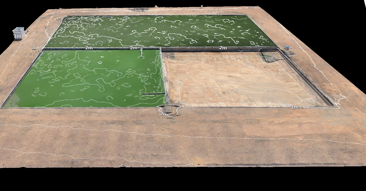
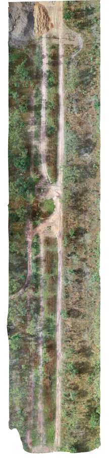
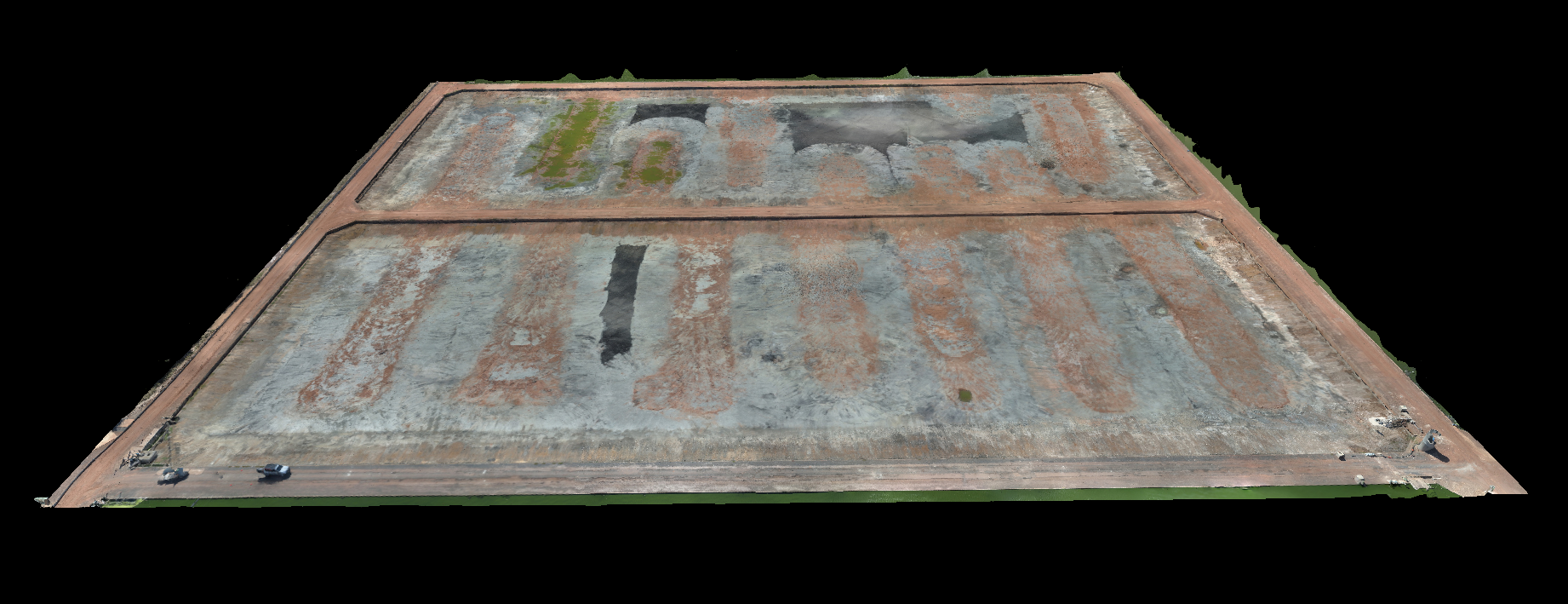
Orthomosaic Mapping
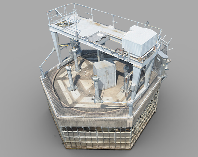
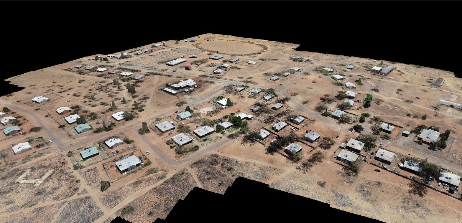
CASE STUDIES: Corridor Mapping | WSP mapping | Ship Lift
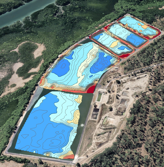
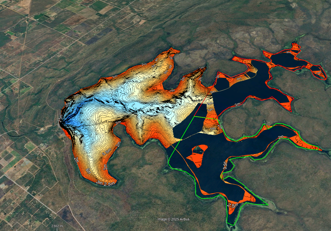
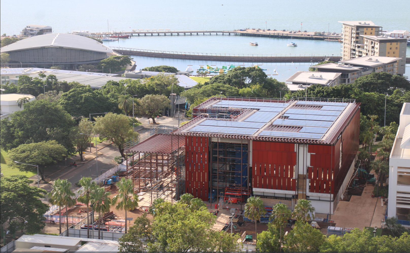
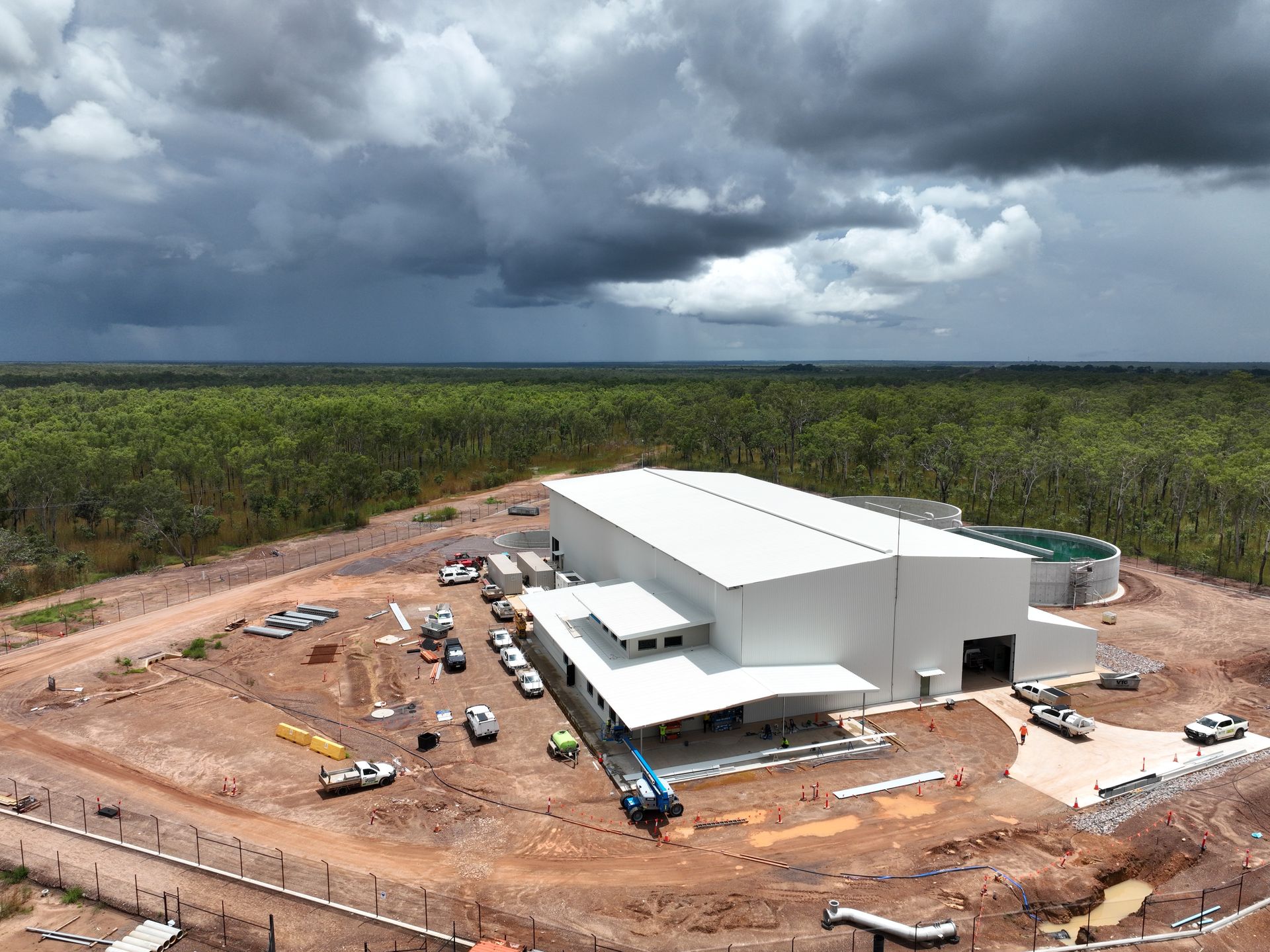
Orthmosiac mapping is a technique used to create detailed, accurate, georeferenced maps or images of large areas by stitching together multiple aerial photographs.
We
create orthomosiac maps using the highest quality UAV
aerial drone images and in-house processing expertise. We create these large-scale maps for
clientsfor
Our services