OUR SERVICES
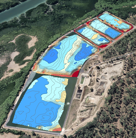
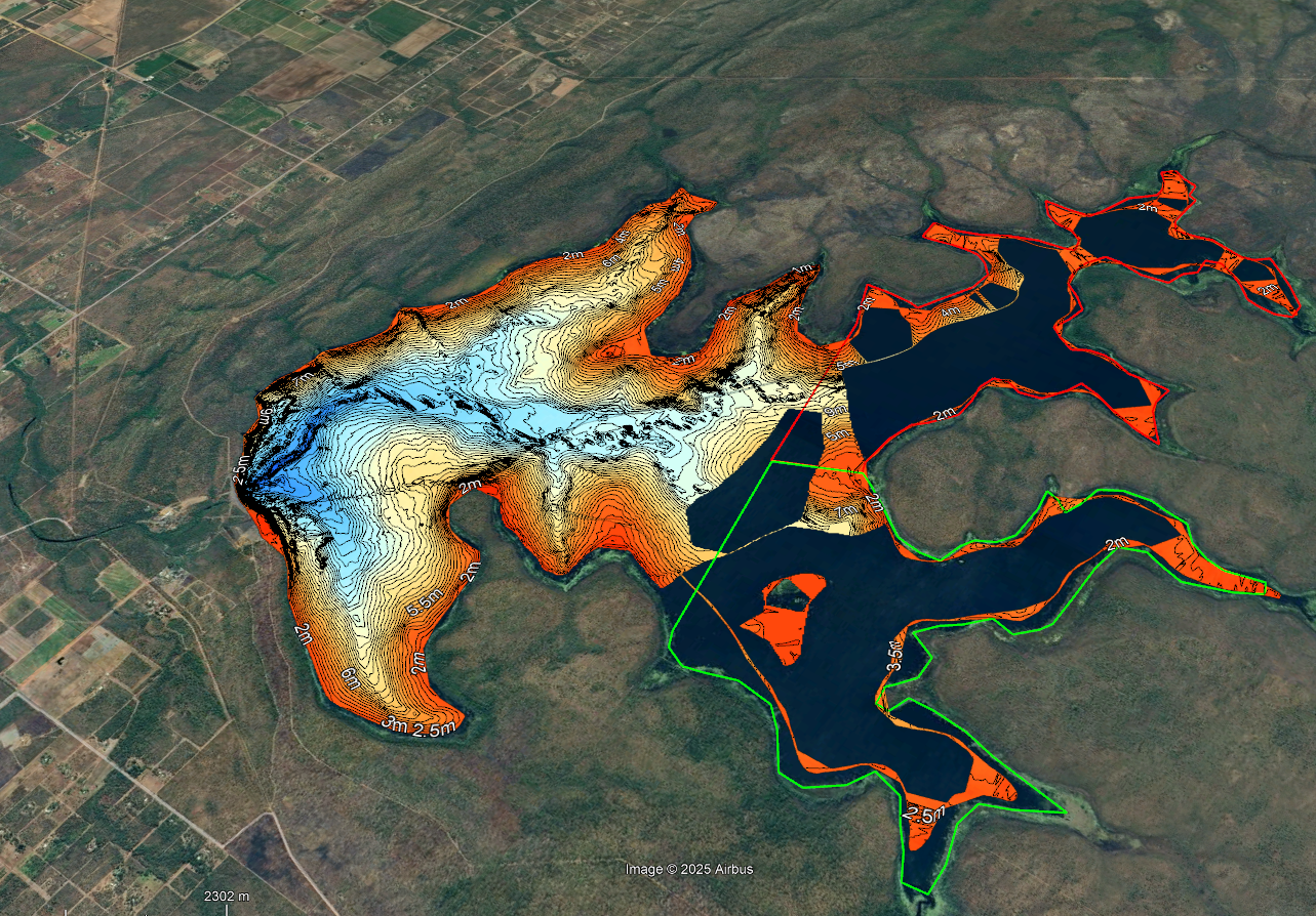
Bathymetric Surveys
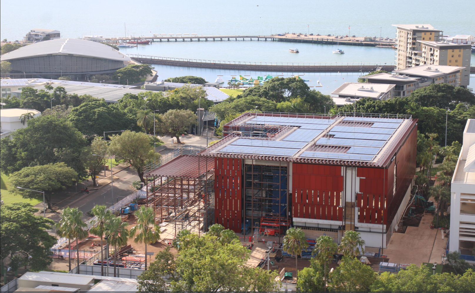
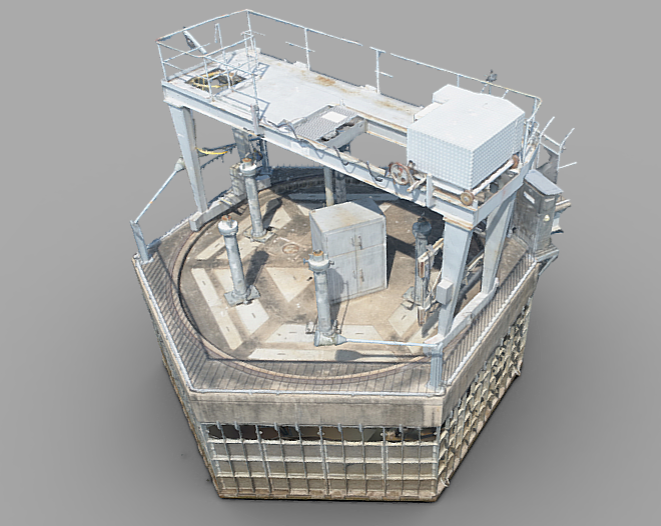
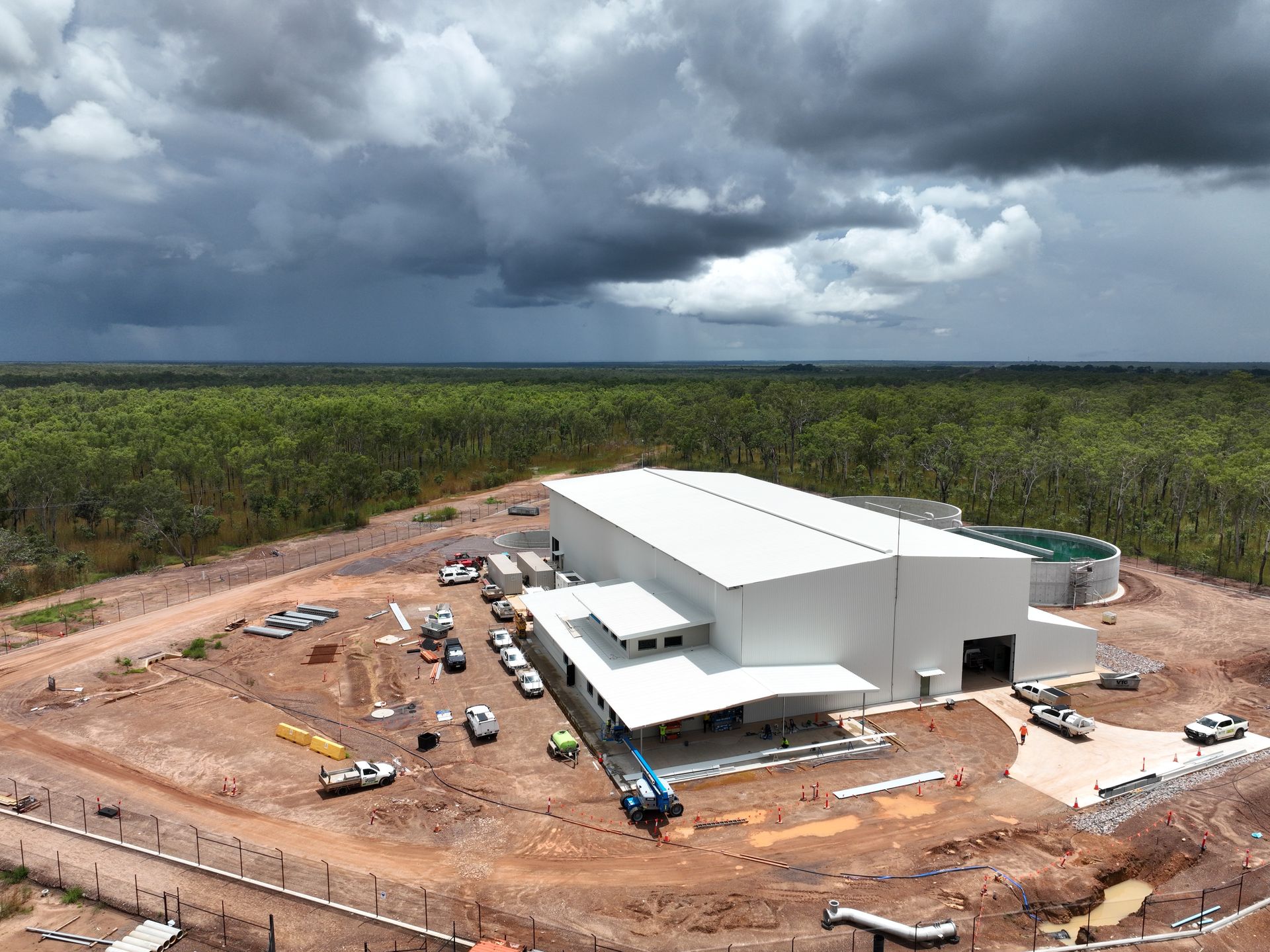
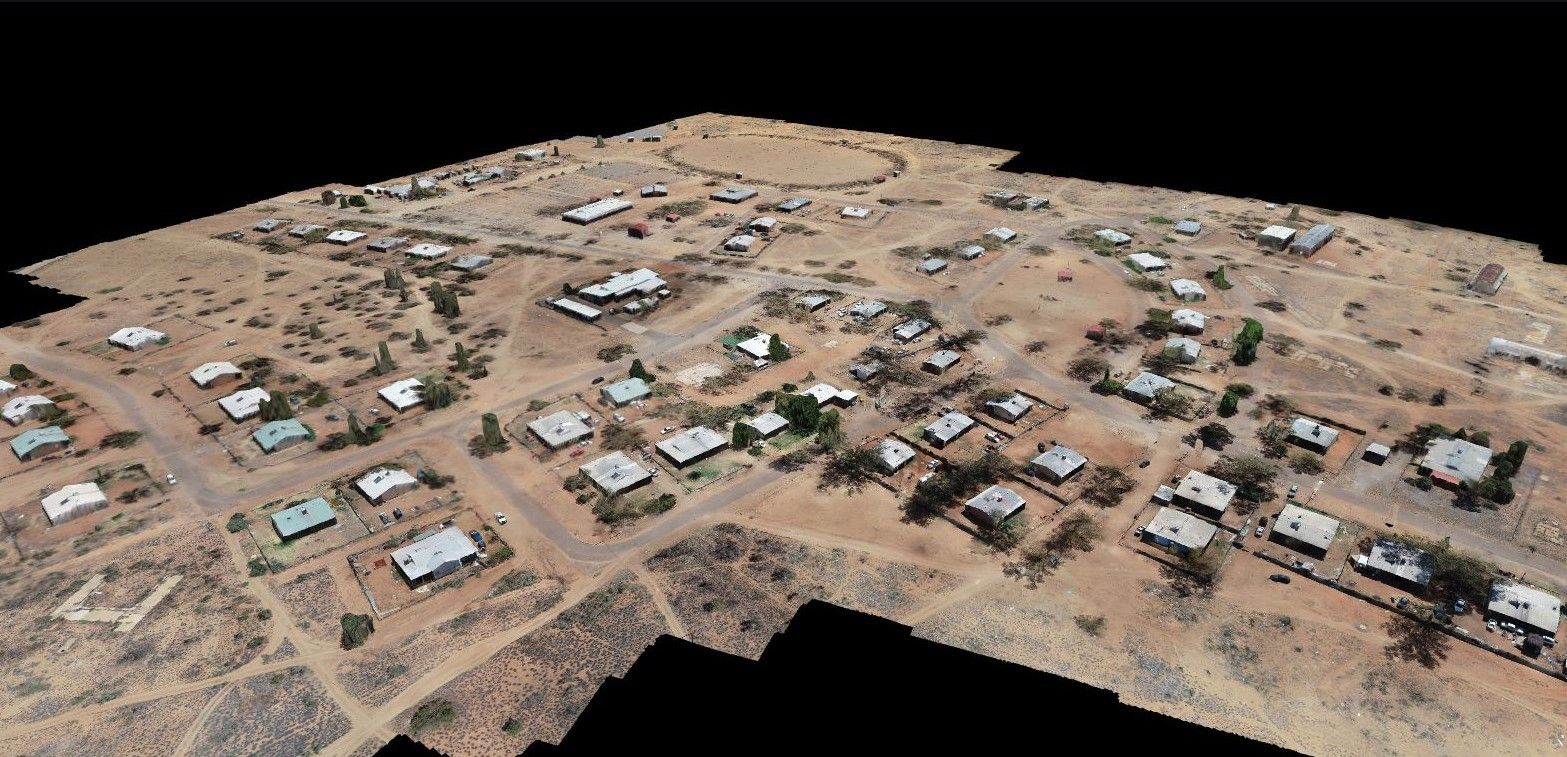
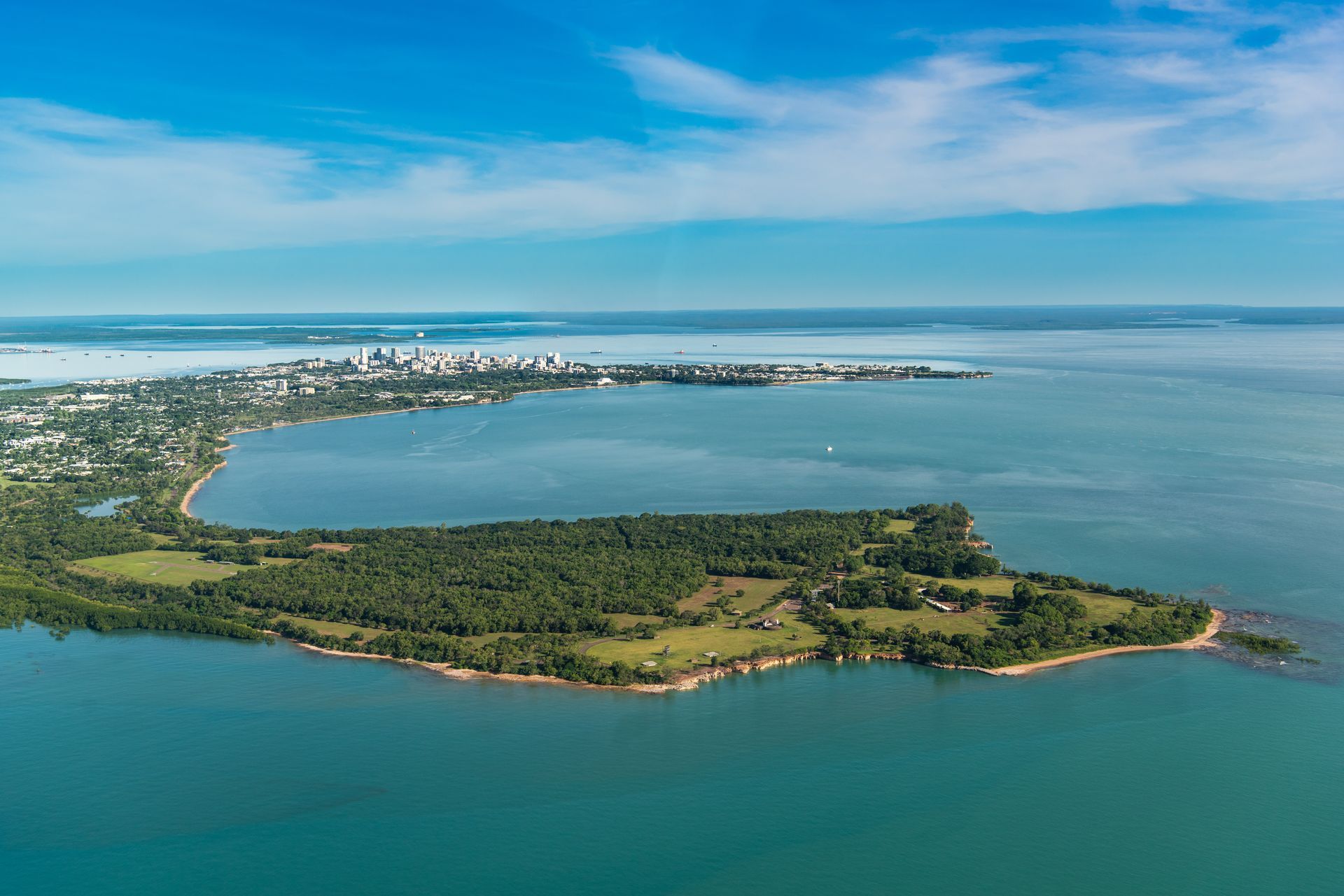
CASE STUDIES: Remote WSPs | Darwin Harbour | Manton Dam | Darwin River Dam | Mine Pit
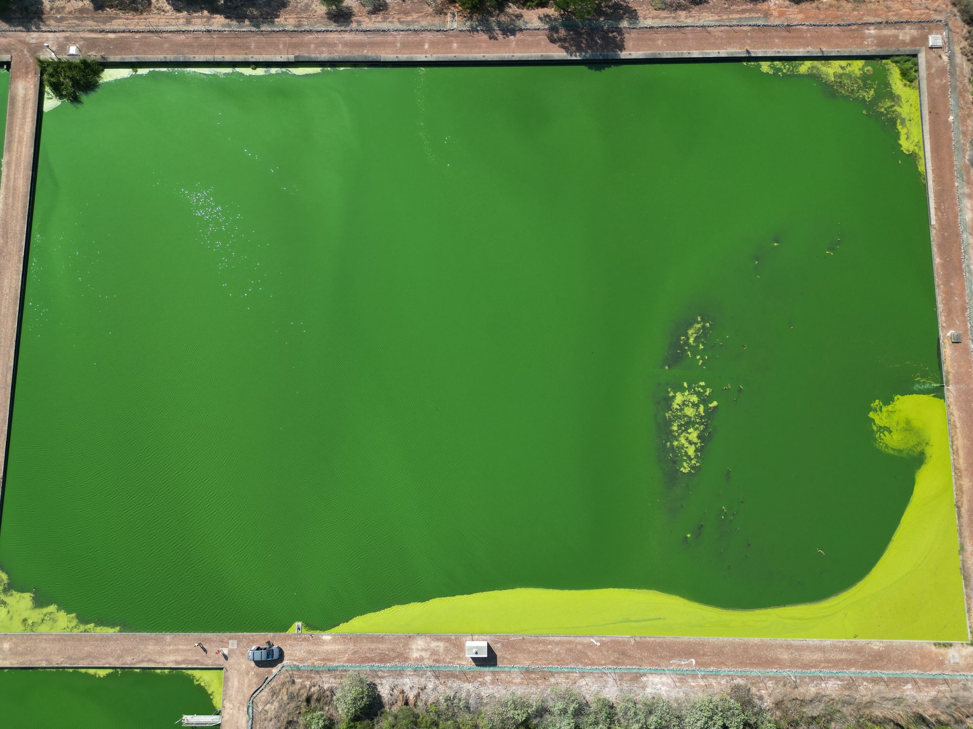
A bathymetric survey is the underwater equivalent of topographical mapping, measuring the depth of water and mapping the 3D terrain of the seafloor, lakebed or riverbed.
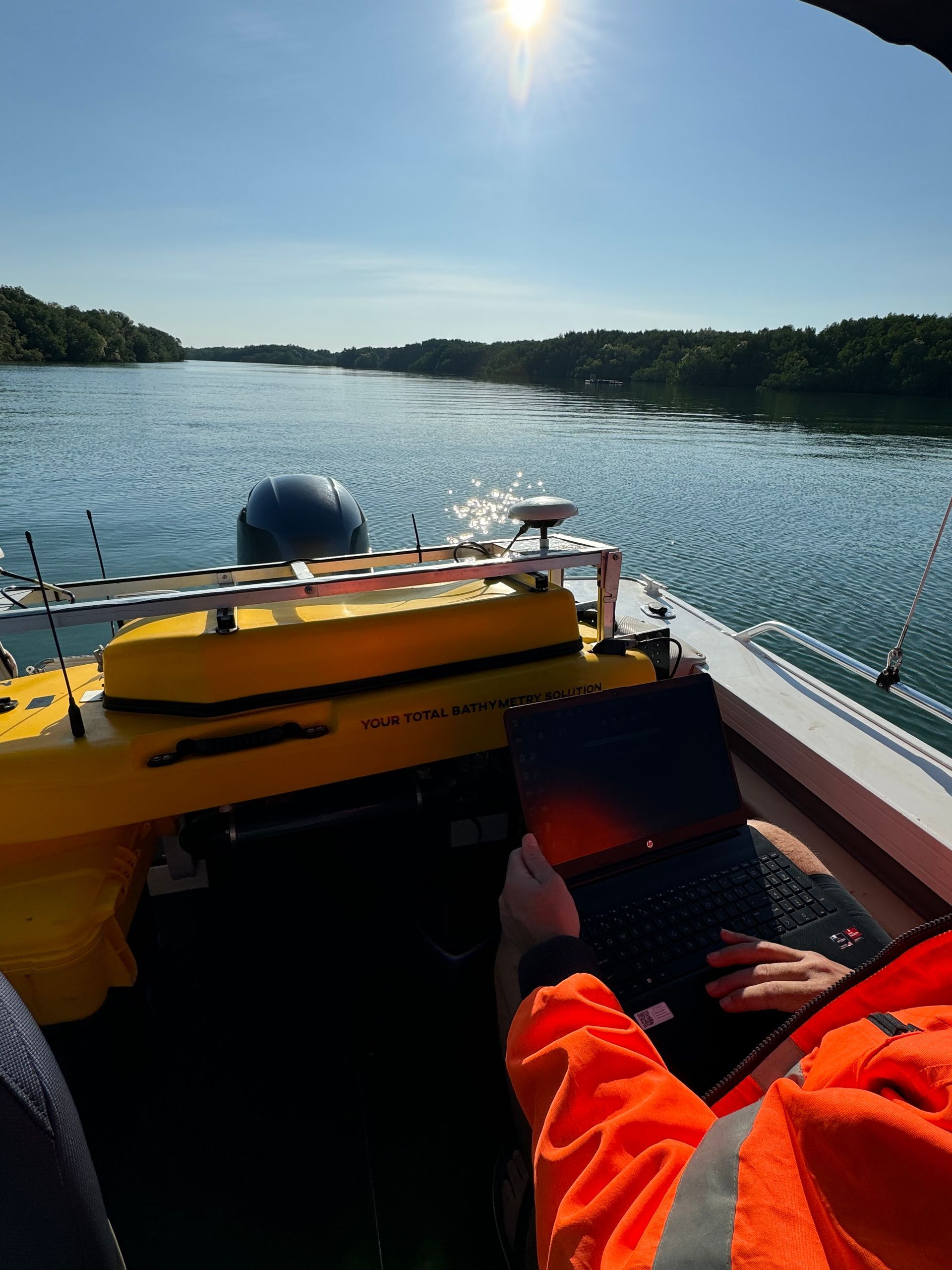
We provide bathymetric surveys of waste-water ponds, reservoirs and coastal areas and have a variety of USVs (unmanned surface vehicles/on-water drones), ROV (remote operated vehicles/underwater drones), ribs and LiDAR terrestrial scanners to provide you with the most comprehensive 3D modelling services which inform:
Our equipment has been tested and adapted to operate in the extreme climate and isolated locations across Northern Australia.
We have also custom designed and built our own fit-for-purpose "Steamer" USV for surveying high-debris tropical waste water ponds and waste stabilisation ponds (WSP)
Our services