

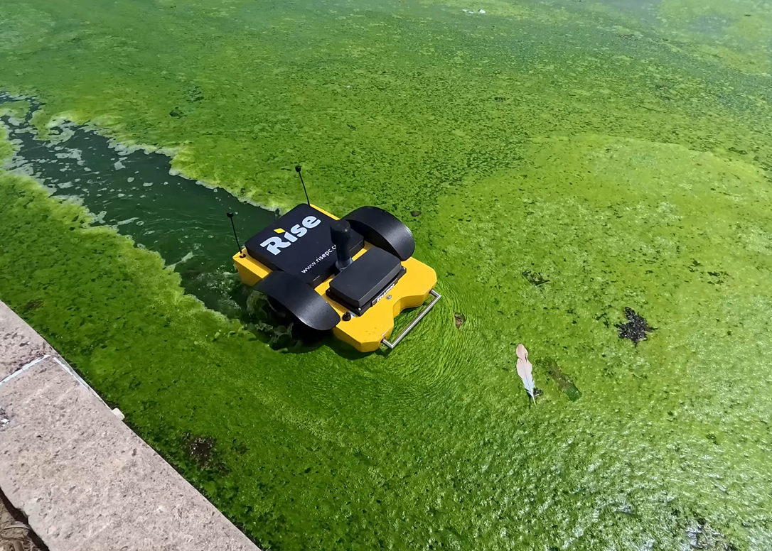
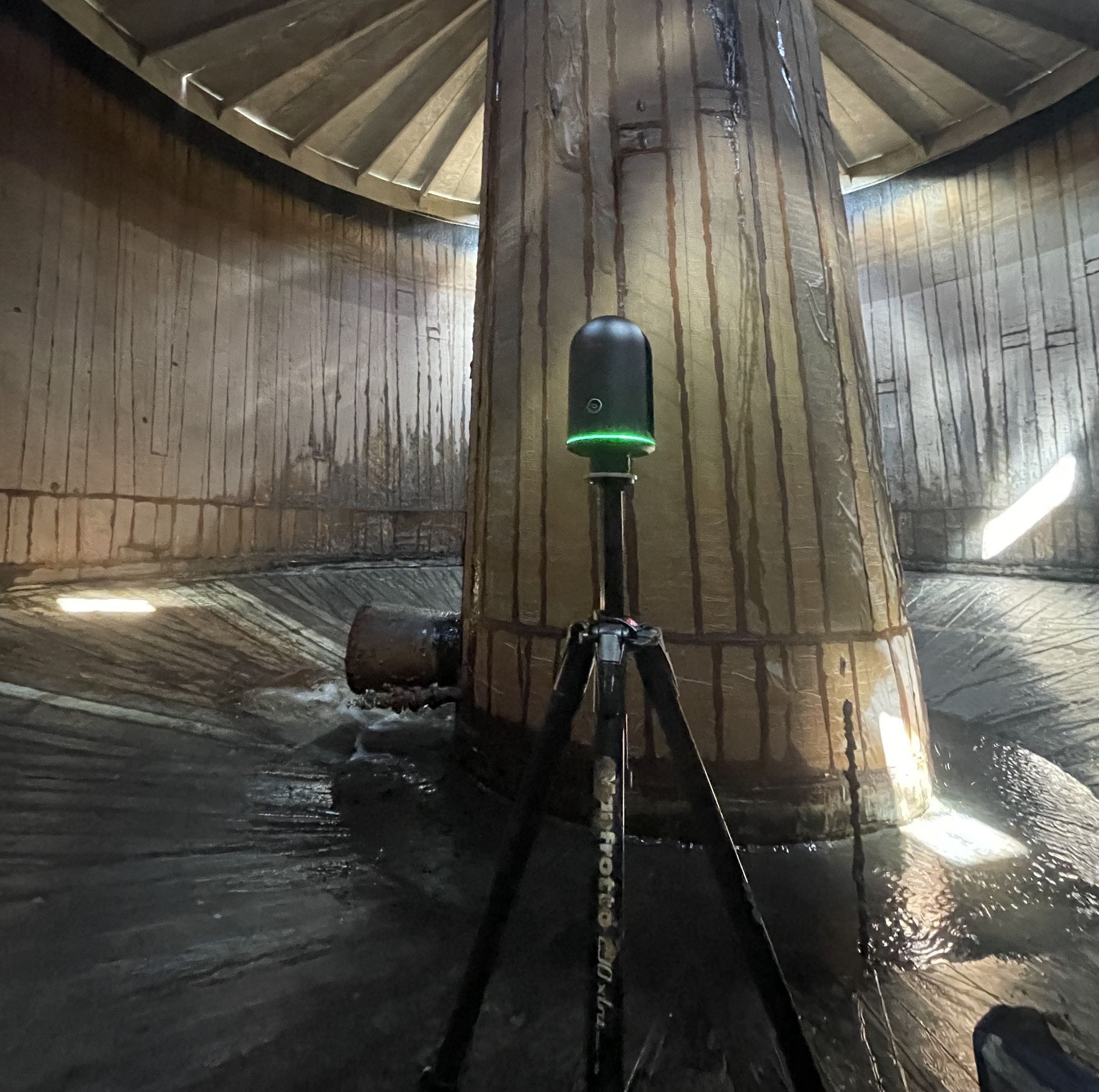
USV and ROV drones for hydrological surveys
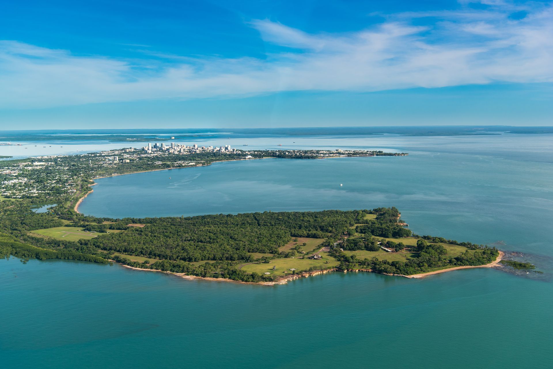
Tropical tough technology
Client: Sedgewick
Safer, faster, accurate and more-cost effective.

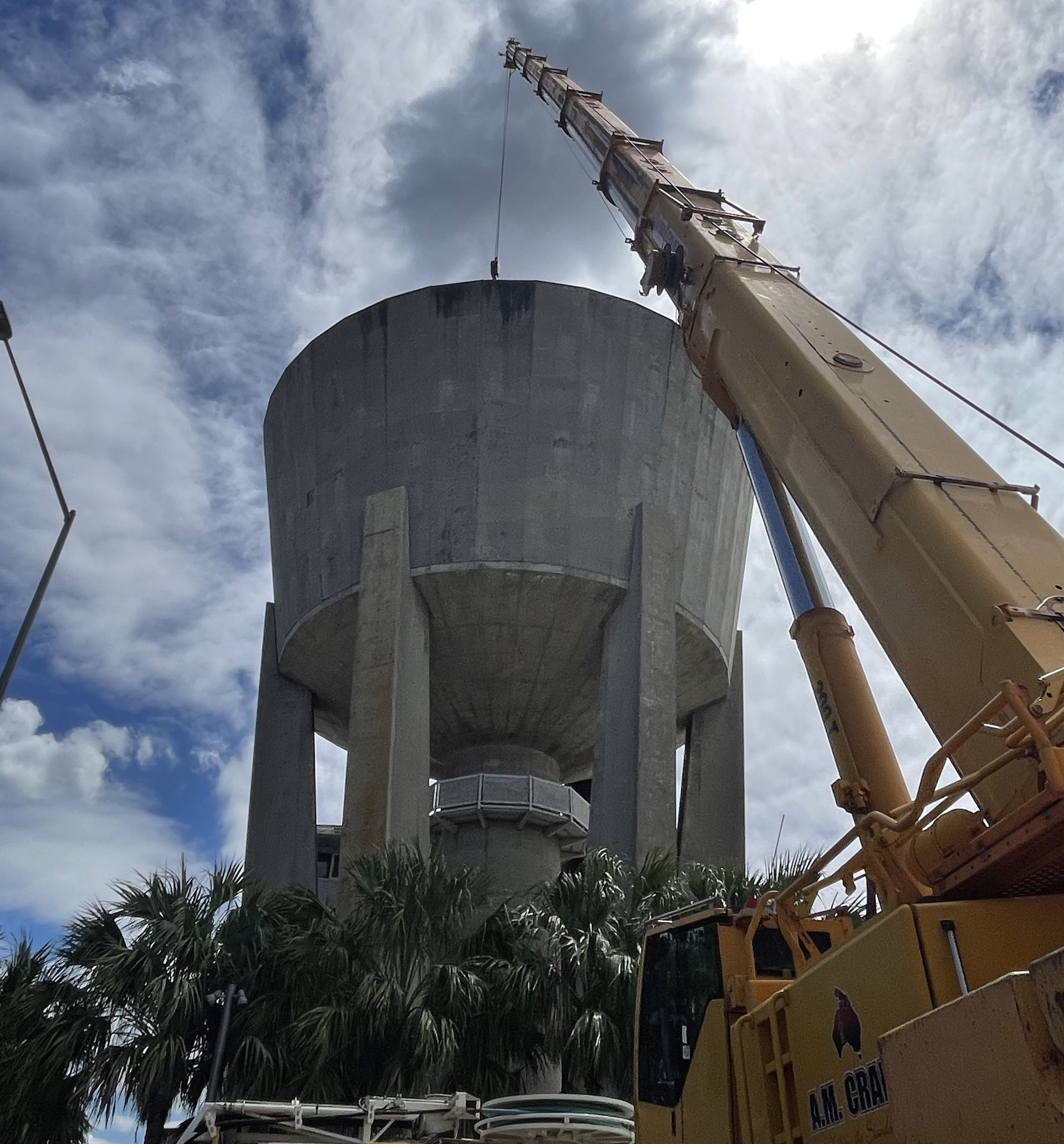
Simpler, more effective and efficient asset management
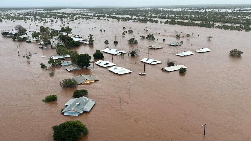
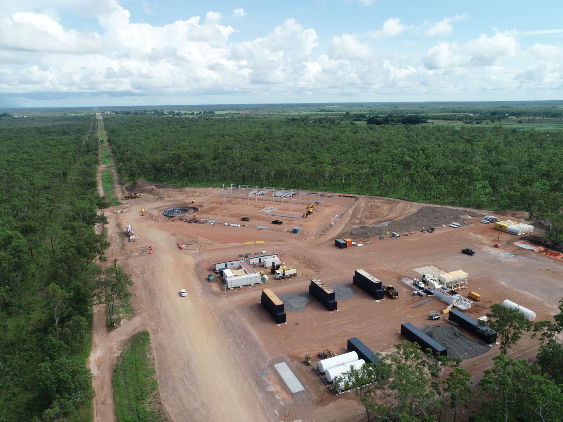
Client: Power Water Corporation
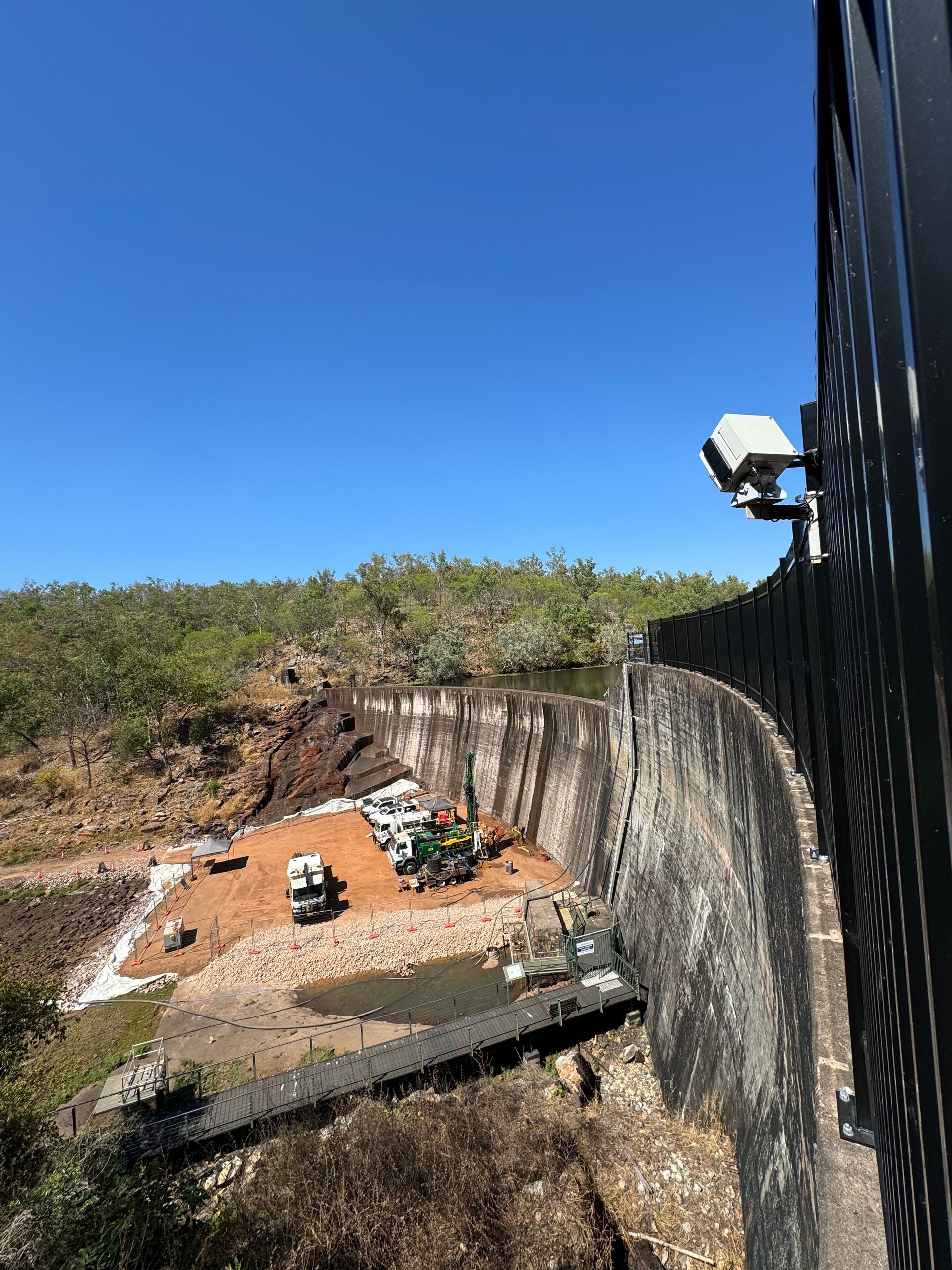
Client: Power Water Corporation
We are so proud to have our investment into the development of a tropical bathymetric USV (unmanned service vehicle) secure matched funding from Advanced Manufacturing Growth Centre Ltd.
Current wastewater survey methods are often not fit-for-purpose for the waste water conditions in tropical Northern Australia - high debris loads and organic matter.
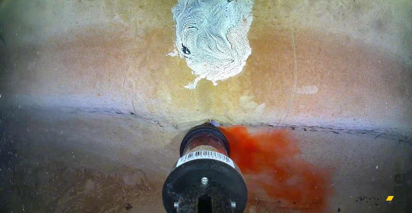
Client: Power Water Corporation
Client: Power Water Corporation
