Mining test pit survey

Mining test pit survey

Client: Resources


Bathymetric survey

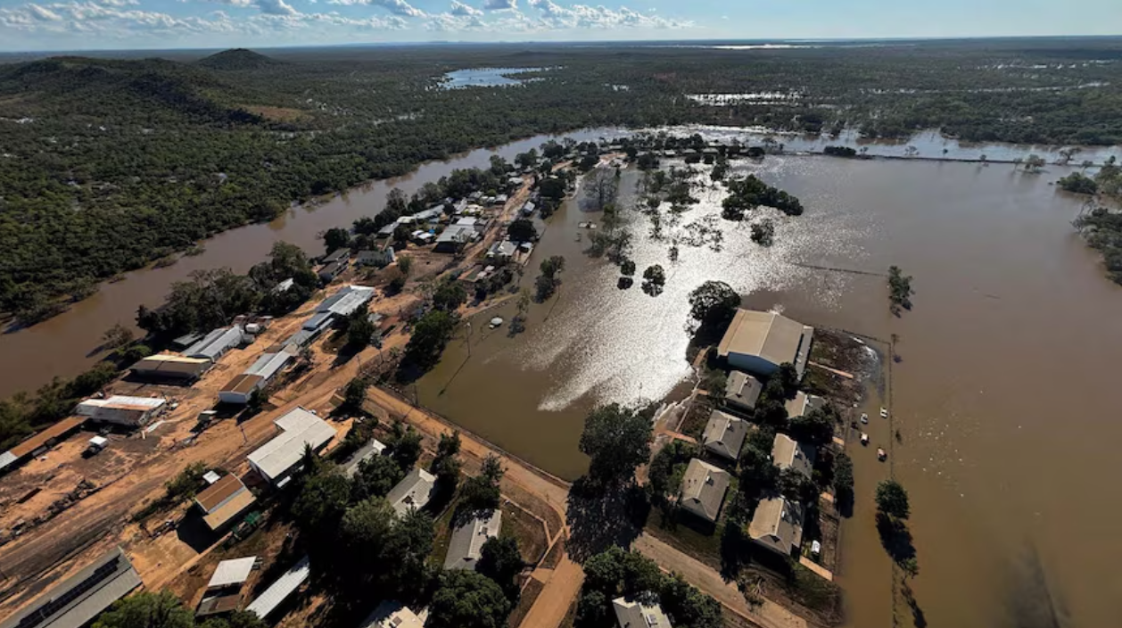
Our client were undertaking exploration drilling and bulk testing in a pit in the remote tropics containing surface water and groundwater inflows which had been sedentary.


Rise was engaged to undertake a bathymetric survey of the test pit surface water to provide the client with comprehensive water volume and sedimentation modelling.  


Rise measured both the sediment and rock bed depths to provide a comparative analysis of sediment depth variations.


Deliverables:

-Water volume report

-Sediment report

-Interactive visual model.

Thessally Resources are undertaking exploration drilling and bulk testing within the existing Huandot Pit, located approximately 85km south of Darwin.


The existing Huandot Pit contains surface water and groundwater inflows and had been sedentary.


Rise was engaged to undertake a bathymetric survey of the test pit surface water to provide Thessally with comprehensive water volume and sedimentation modelling.  


Rise used dual frequency analysis to measure both the sediment and rock bed depths to provide a comparative analysis of sediment depth variations.


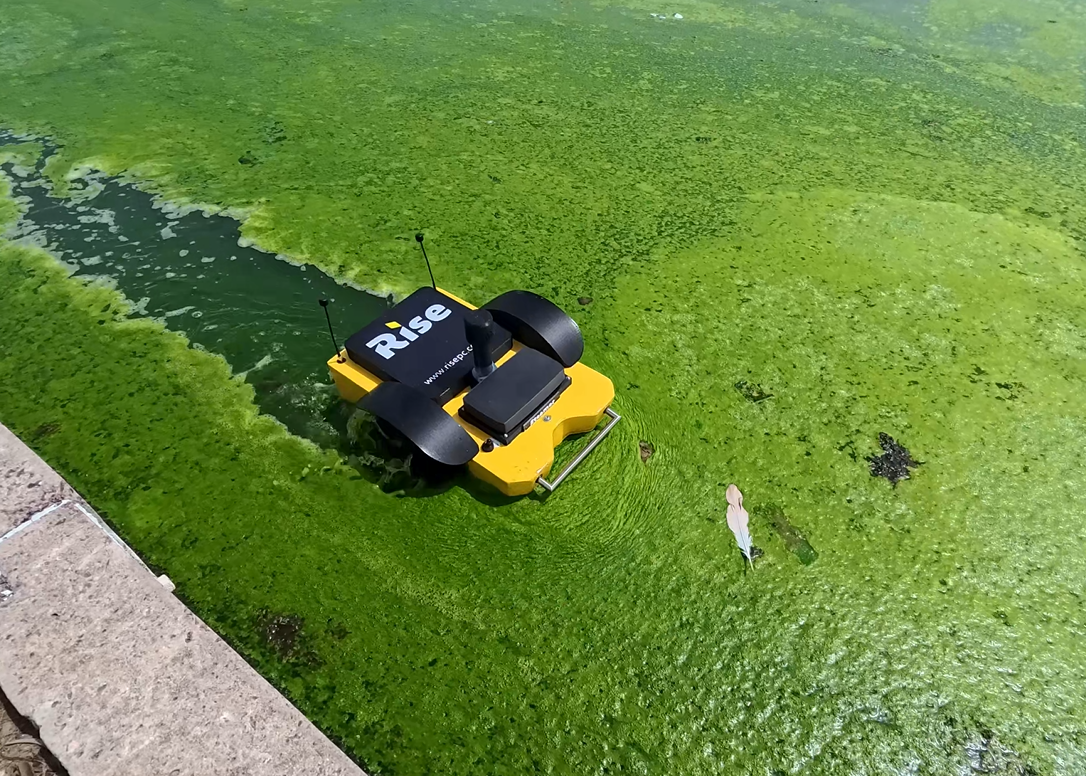
The analysis used dual frequency bathmetric survey data, XYZ coordinate date and water surface level measurement using a USV (unmanned surface vehicle).


Deliverables:

-Water volume report

-Sediment report

-Interactive visual model.


Thessally Resources are undertaking exploration drilling and bulk testing within the existing Huandot Pit, located approximately 85km south of Darwin.


The existing Huandot Pit contains surface water and groundwater inflows and had been sedentary.


Rise was engaged to undertake a bathymetric survey of the test pit surface water to provide Thessally with comprehensive water volume and sedimentation modelling.  


Rise used dual frequency analysis to measure both the sediment and rock bed depths to provide a comparative analysis of sediment depth variations.


The analysis used dual frequency bathmetric survey data, XYZ coordinate date and water surface level measurement using a USV (unmanned surface vehicle).


Deliverables:

-Water volume report

-Sediment report

-Interactive visual model.


By Anna Goat • October 29, 2026
From winner to sponsor
By Anna Goat • October 5, 2026
The perfect storm for 3D scanning
By Anna Goat • September 28, 2026
Client: Insurance
By Anna Goat • September 4, 2026
Why we invest in our community
By Anna Goat • April 7, 2026
USV and ROV drones for hydrological surveys
By Anna Goat • April 7, 2026
Tropical tough technology
By Anna Goat • April 7, 2026
Safer, faster, accurate and more-cost effective.
By Anna Goat • April 7, 2026
Simpler, more effective and efficient asset management
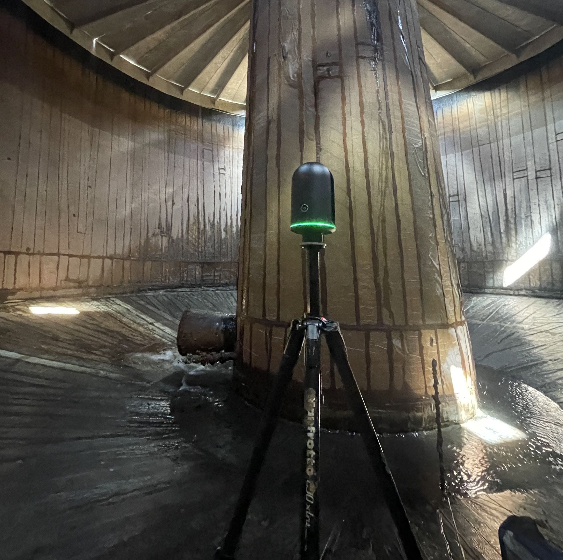
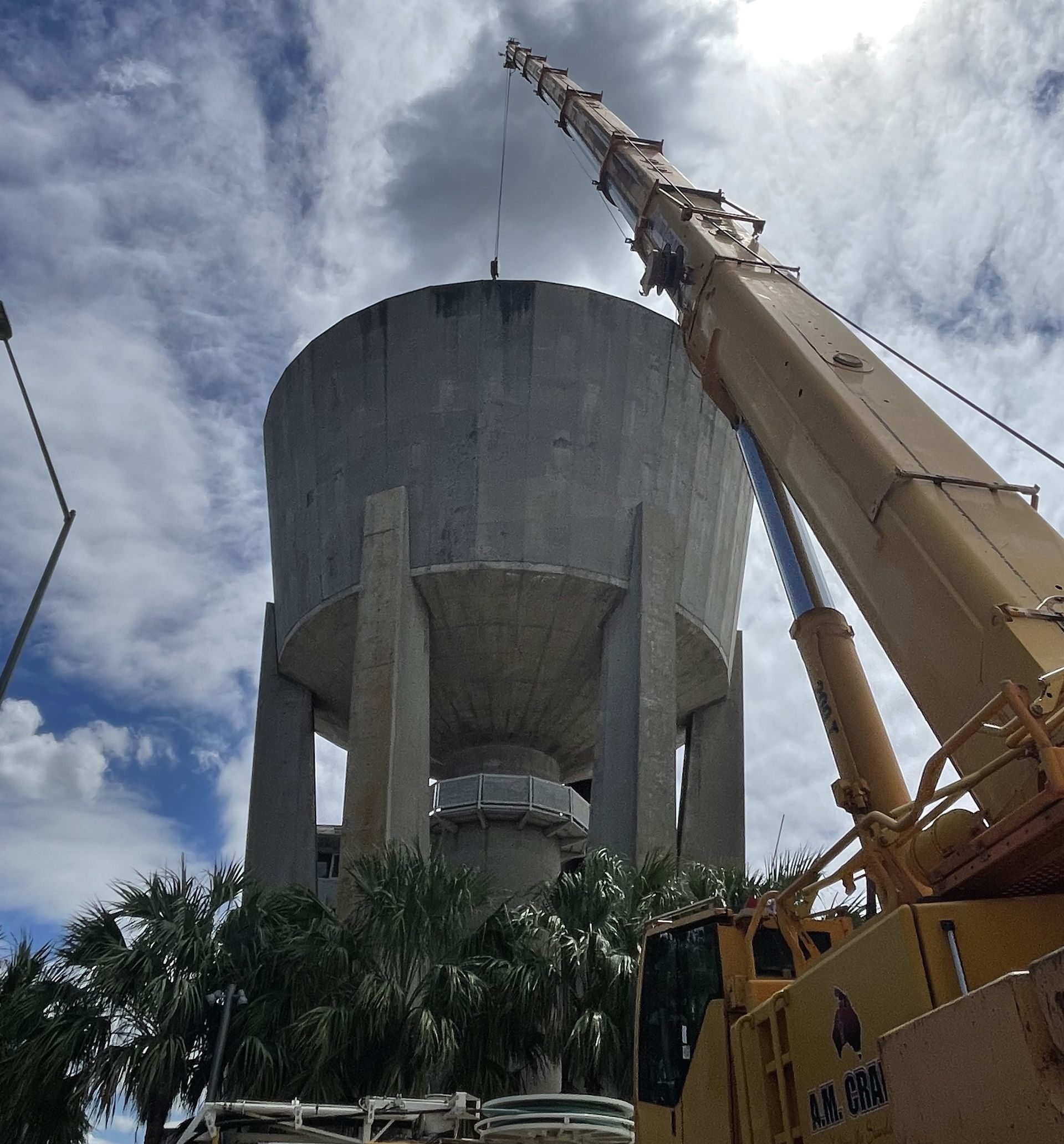
LiDAR scanner inside a large water tank to capture a digital twin of the tank interior.
By Anna Goat • April 3, 2026
Client: Utilities
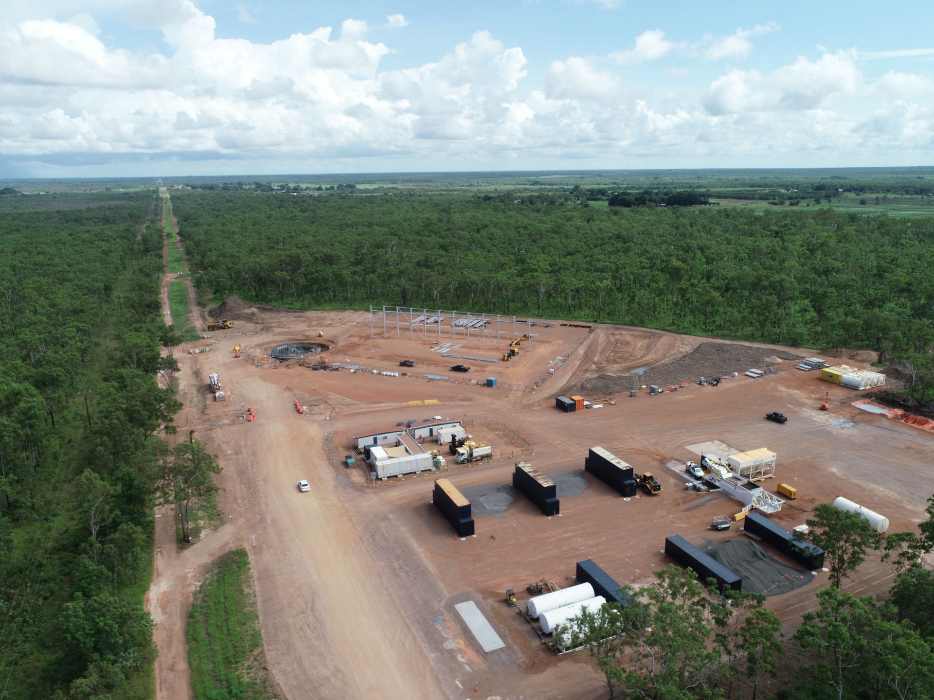
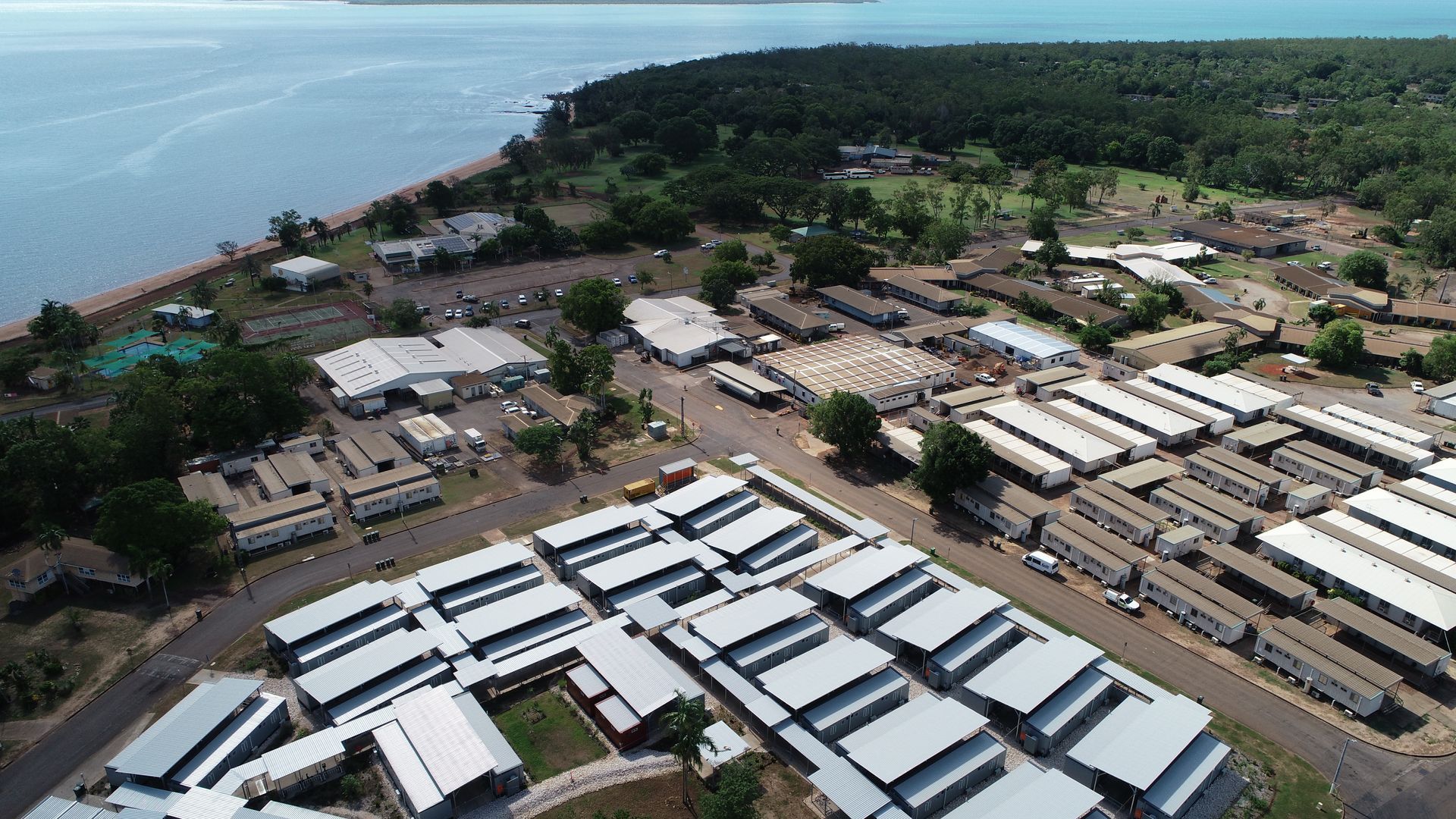
Aerial view of construction site and infrastructure corridor mapped by Rise.
By Anna Goat • April 3, 2026
Client: Utilities