Client: Northern Territory Government (NTG)
Rise was instrumental in engaging NTG about the potential for aerial UAV drones and 3D scanning to make remote housing management more efficient, effective and cost-effective. Rise was awarded the Pilot tender to explore this potential in two remote communities (Amoonguna and Nauiyu) in October 2019.
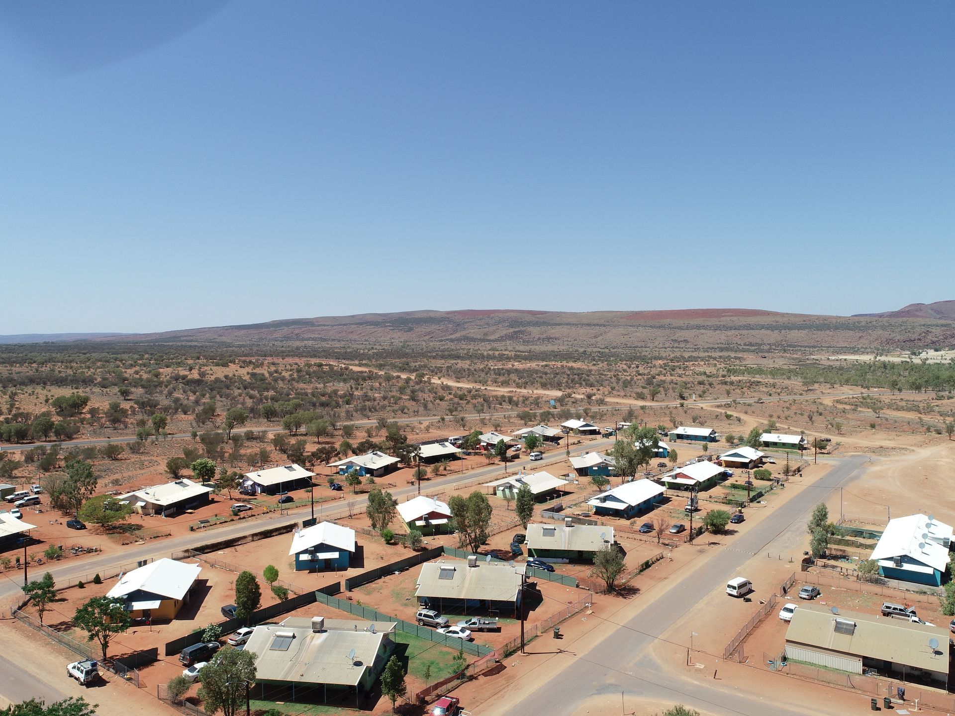
The purpose of the Pilot was to test the limitations, risks and opportunities for using aerial drones and 3D scanning technology for remote asset management. The Pilot was staged so that the data, process and outcomes of the first community could be refined and implemented in the second community.
As part of this Pilot Rise provided research and consultation on the capabilities of each technology; produced explanatory and community engagement videos in language for each community; provided individual Lot reports with aerial datasets; generated individual virtual tours of each property; generated floor plans and created orthomosaic maps of the whole of Amoonguna and Nauiyu.