2026 Katherine and Daly flood response

2026 Katherine and Daly flood response

Client: TIO | Allianz International


Katherine and Naiyu catastrophe response: 80 locations, multiple assets: residential, community and commercial.

In early 2026, a slow-moving weather system and heavy rains combined with ex-Cyclone Narelle caused major flooding of both Katherine and Daly River. Katherine River peaked at its highest flood level in 28 years (19.19m) and Daly River reached an unprecedented 16.42m.


Rise was engaged by TIO/Allianz International as their catastrophe response to inspect multiple losses in both Katherine and Naiyu using 3D scanning and digital twin technology, significantly reducing the need for interstate FIFO lost adjusters. 


Over 4 weeks Rise visited over 80 sites and to capture digital twins of residential dwellings, community centres, council offices, medical centres and workshops.


The accumulation of debris in the properties severely restricted access to many areas and would have made prevented a comprehensive manual inspection.


3D scanning technology allows for measurements to be taken even when walls/floors are covered in debris and removes the risk of people having to navigate around damage and debris. 


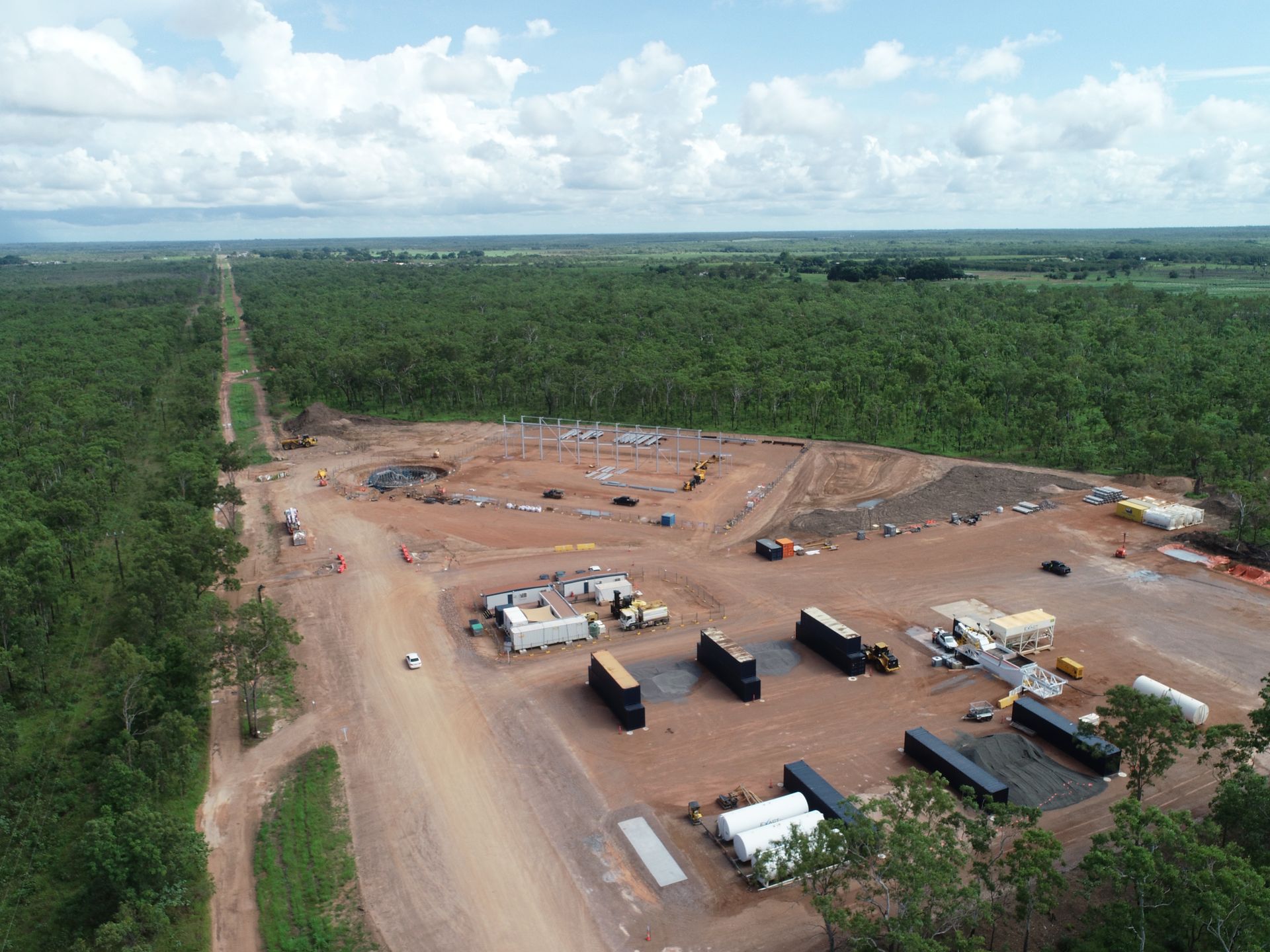
Thessally Resources are undertaking exploration drilling and bulk testing within the existing Huandot Pit, located approximately 85km south of Darwin.


The existing Huandot Pit contains surface water and groundwater inflows and had been sedentary.


Rise was engaged to undertake a bathymetric survey of the test pit surface water to provide Thessally with comprehensive water volume and sedimentation modelling.  


Rise used dual frequency analysis to measure both the sediment and rock bed depths to provide a comparative analysis of sediment depth variations.


The analysis used dual frequency bathmetric survey data, XYZ coordinate date and water surface level measurement using a USV (unmanned surface vehicle).


Deliverables:

-Water volume report

-Sediment report

-Interactive visual model.


Thessally Resources are undertaking exploration drilling and bulk testing within the existing Huandot Pit, located approximately 85km south of Darwin.


The existing Huandot Pit contains surface water and groundwater inflows and had been sedentary.


Rise was engaged to undertake a bathymetric survey of the test pit surface water to provide Thessally with comprehensive water volume and sedimentation modelling.  


Rise used dual frequency analysis to measure both the sediment and rock bed depths to provide a comparative analysis of sediment depth variations.


The analysis used dual frequency bathmetric survey data, XYZ coordinate date and water surface level measurement using a USV (unmanned surface vehicle).


Deliverables:

-Water volume report

-Sediment report

-Interactive visual model.


By Anna Goat • September 4, 2026
Why we invest in our community
By Anna Goat • April 7, 2026
USV and ROV drones for hydrological surveys
By Anna Goat • April 7, 2026
Tropical tough technology
By Anna Goat • April 7, 2026
Safer, faster, accurate and more-cost effective.
By Anna Goat • April 7, 2026
Simpler, more effective and efficient asset management
By Anna Goat • April 3, 2026
Client: Power Water Corporation
By Anna Goat • April 3, 2026
Client: Power Water Corporation
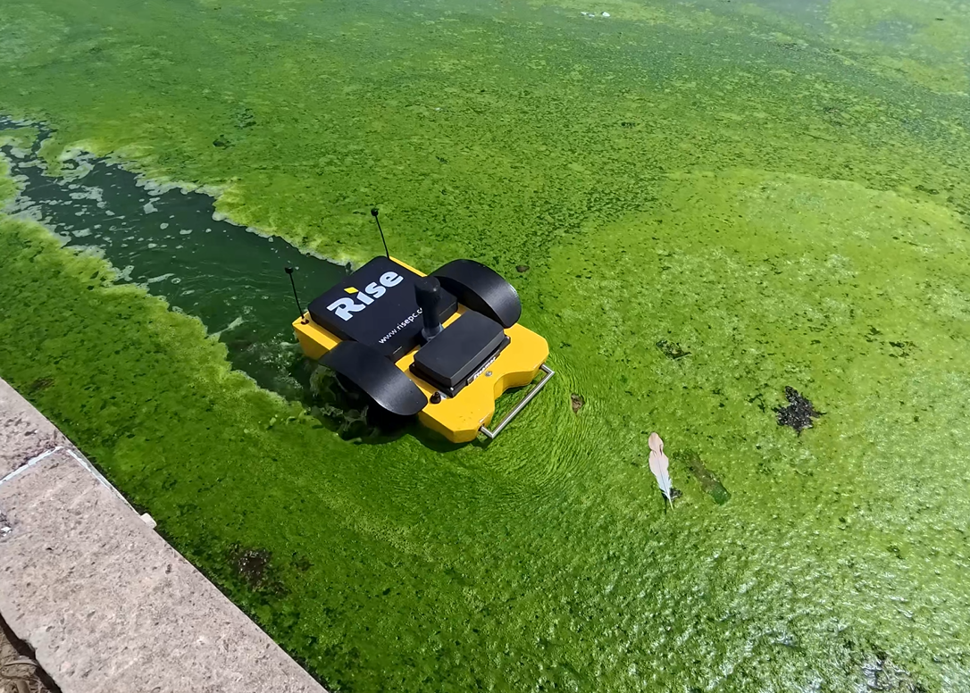
Rise PC's custom built USV cutting through tropical weed in waste water pond.
By Anna Goat • April 3, 2026
We are so proud to have our investment into the development of a tropical bathymetric USV (unmanned service vehicle) secure matched funding from Advanced Manufacturing Growth Centre Ltd. Current wastewater survey methods are often not fit-for-purpose for the waste water conditions in tropical Northern Australia - high debris loads and organic matter.
By Anna Goat • April 3, 2026
Client: Power Water Corporation
By Anna Goat • April 2, 2026
Client: Power Water Corporation