Safer, faster, accurate and more-cost effective.
CASE STUDIES: Water tanks | Water reservoirs | Corridor mapping | Infrastructure construction | WSP surveys
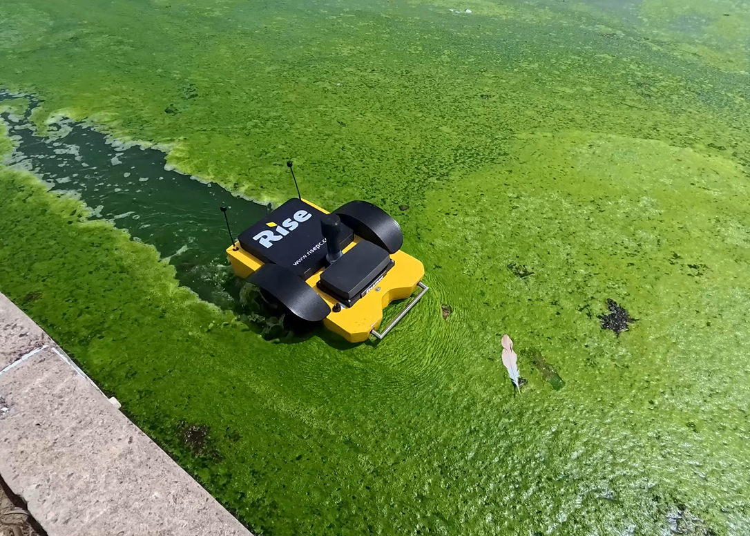
SERVICES: Aerial inspections | Bathymetric surveys | Digital twin | Orthomosaic mapping | Remote site monitoring | Underwater inspections
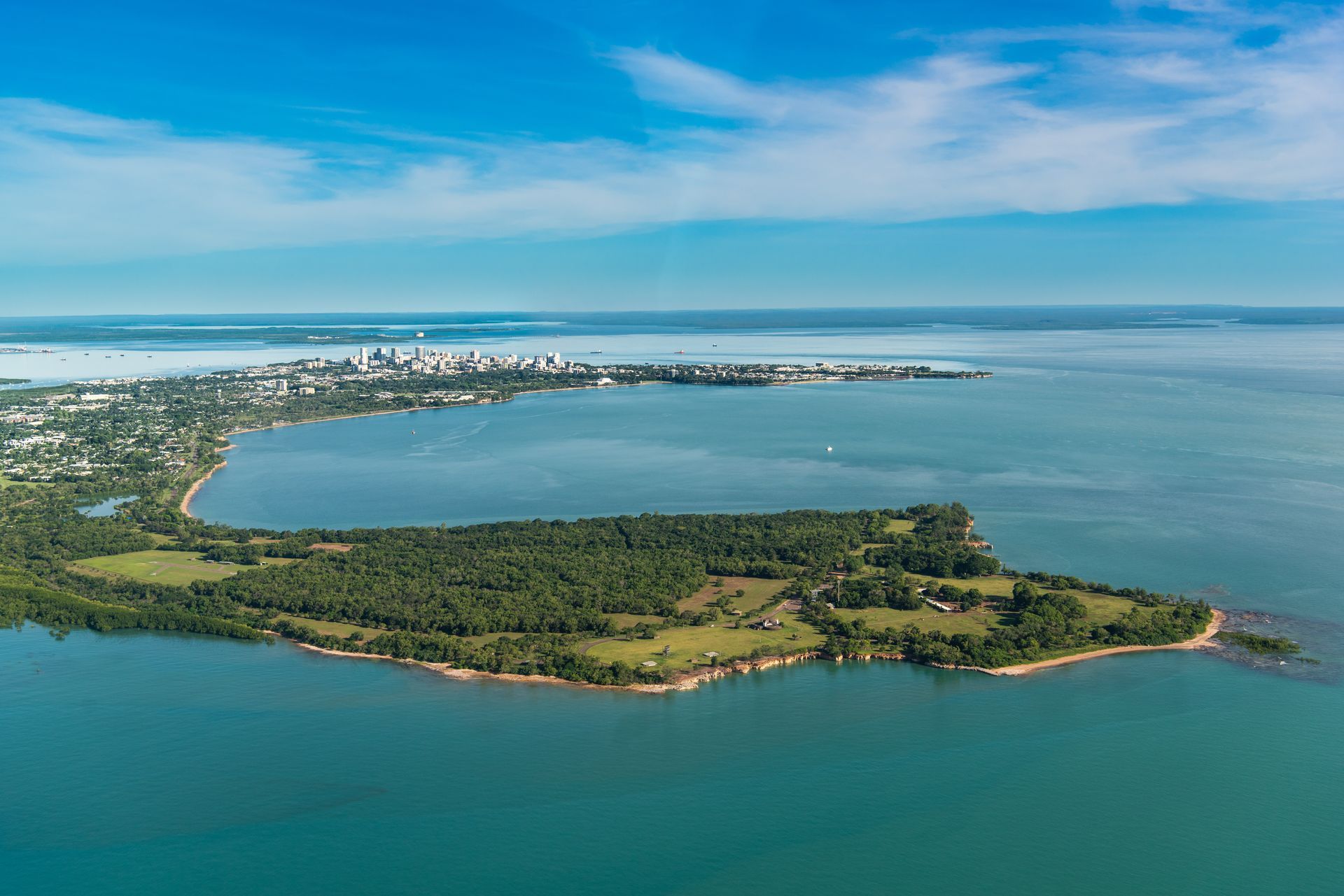
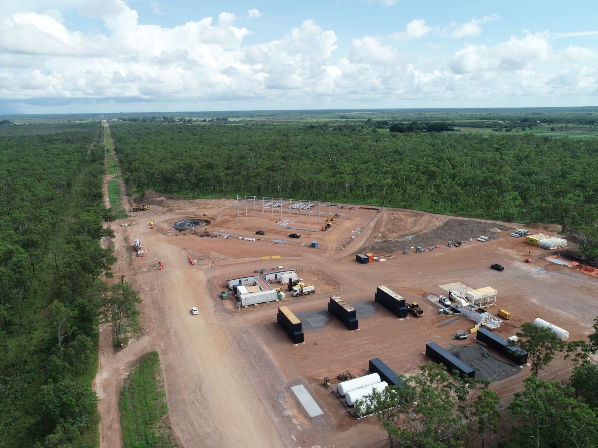
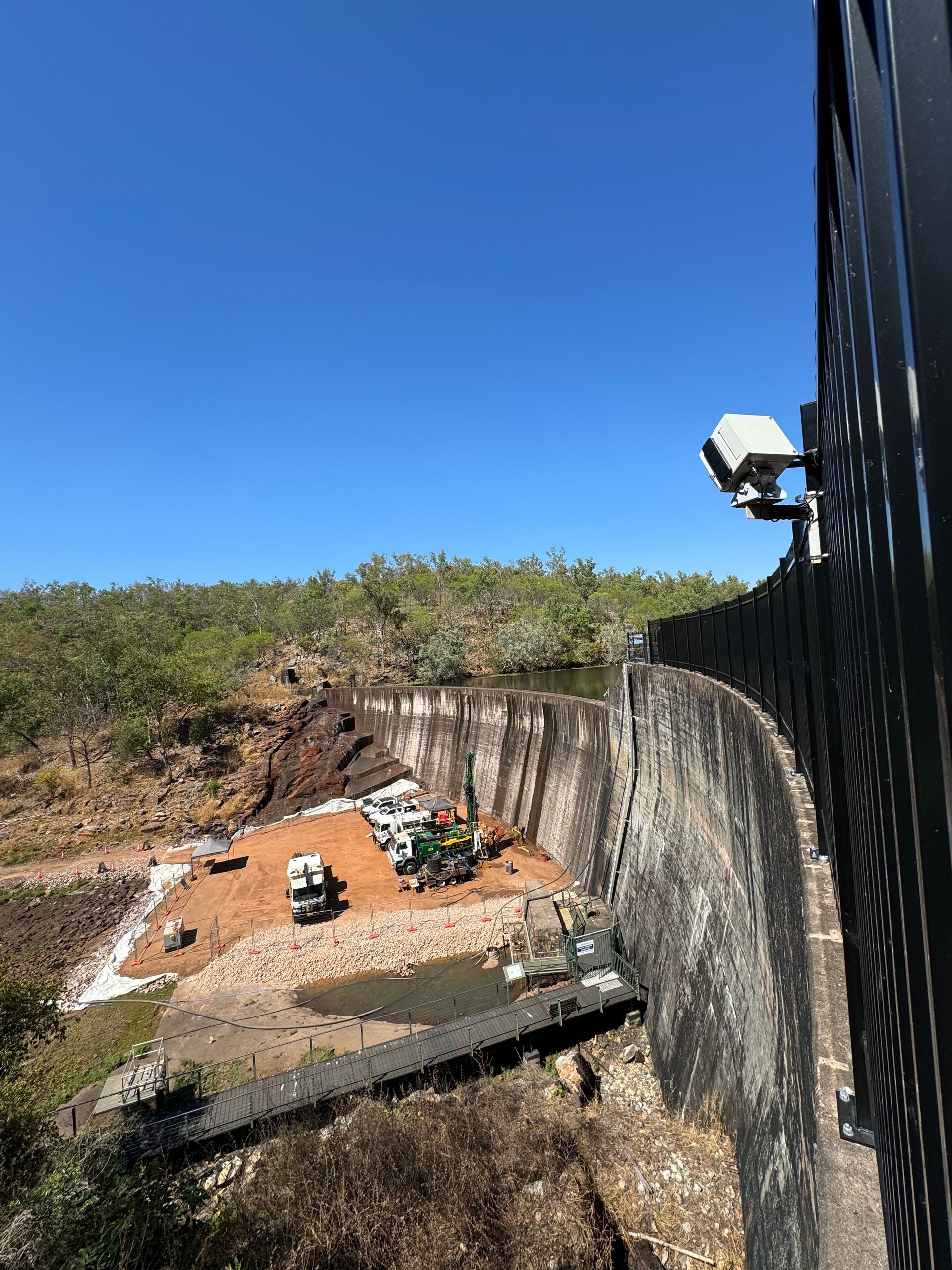
At Rise we have been leaders in bringing drone technology to the Northern Territory; and we don't just mean aerial (UAV) drones. We've brought on-water bathymetric drones (unmanned surface vehicles USVs) and underwater remote operated vehicle (ROV) drones and been the early adopter of LiDAR scanning and digital technology for infrastructure inspections.
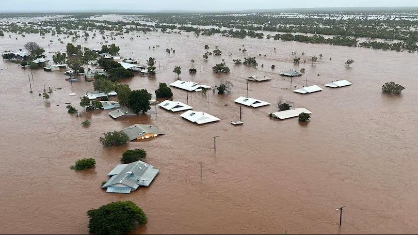
Drones and digital twins overcome the limitations of traditional infrastructure inspections - such a high cost, safety risks and data subjectivity - by creating dynamic, real-time virtual replicas of physical assets, allowing for remote, predictive maintenance and improved decision-making.
By integrating IoT sensors, 3D modelling and artificial intelligence, digital twins transform static, periodic inspections into a continuous, data driven process that can reduce maintenance costs by 20-30% and enhance asset lifespan.
Digital twins overcome traditional inspection problems:
- Remote accessibility, engineers can inspect infrastructure from their desks, saving time and money to remote sites.
- Reduced high-risk exposure, removing the need for working a heights, in confined spaces or in high-traffic environments.
- Centralised information source, all stakeholders (contractors, operators, asset owners) can access the same up-to-date models, creating a single source of truth.
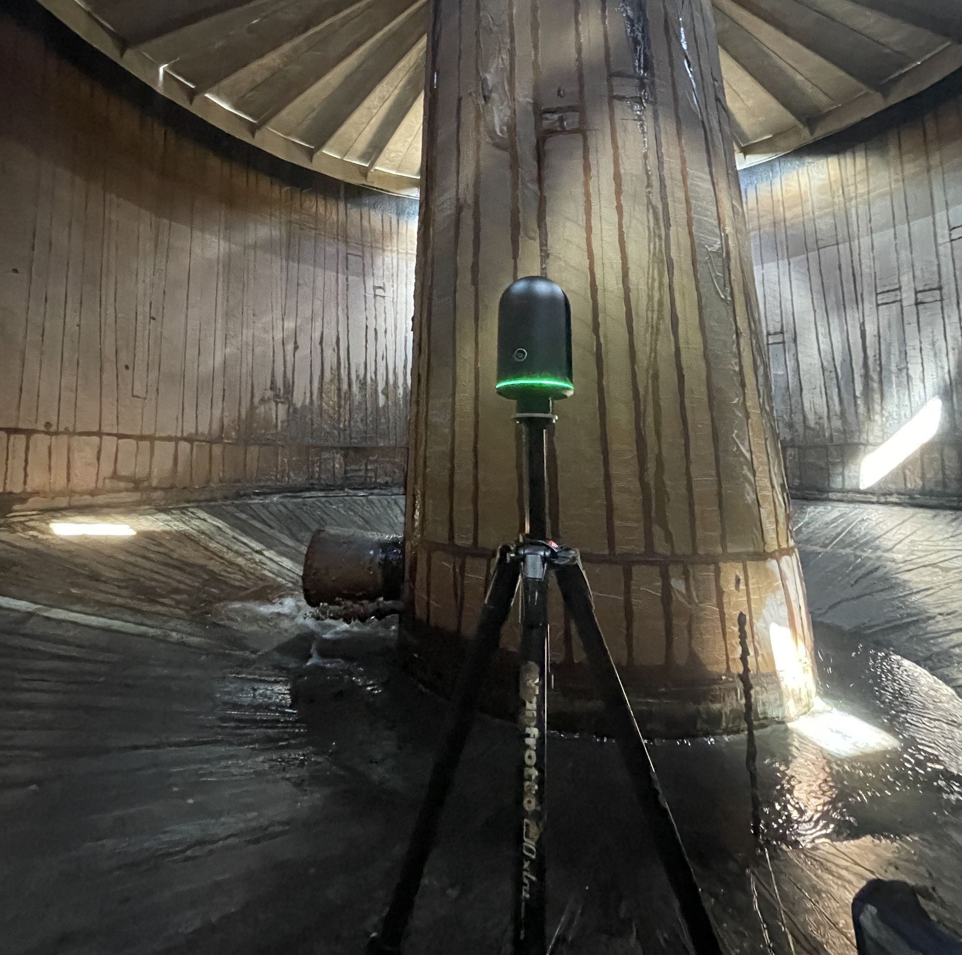
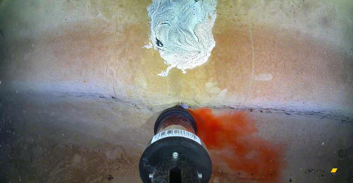
- Gold standard, shareable objective data that is a single source or truth, using LiDAR point cloud, geo-tagged data, providing high-resolution auditable evidence and data.
- Detection of hidden defects, advanced technologies like thermal imagery, 4K video and 4D sequencing can detect issues - such as hairline cracks and corrosion - that might be missed during manual inspections.