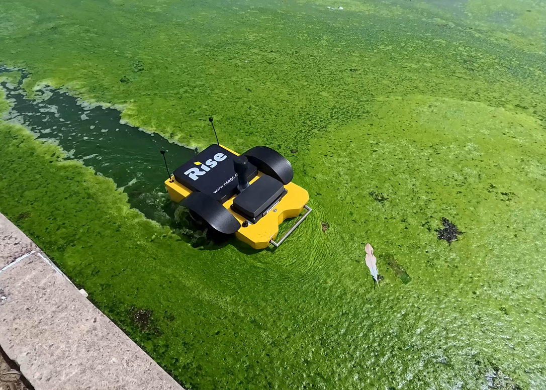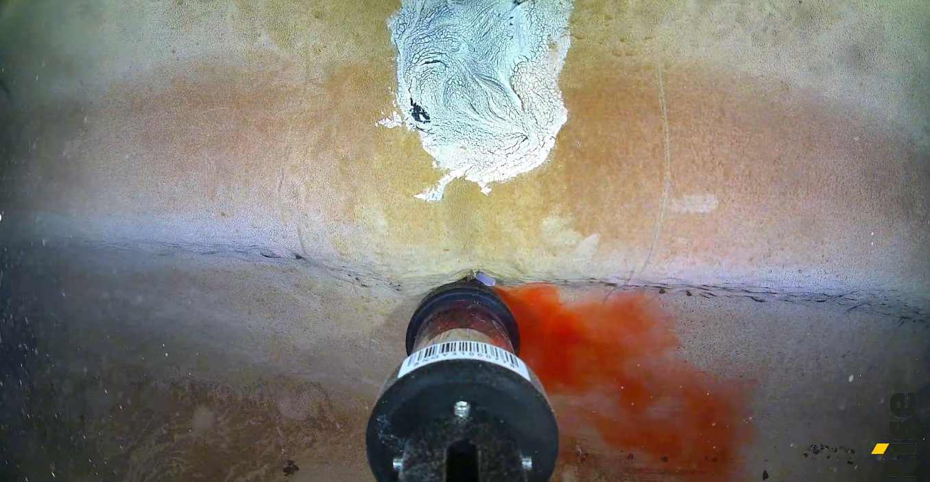
USV and ROV drones for hydrological surveys
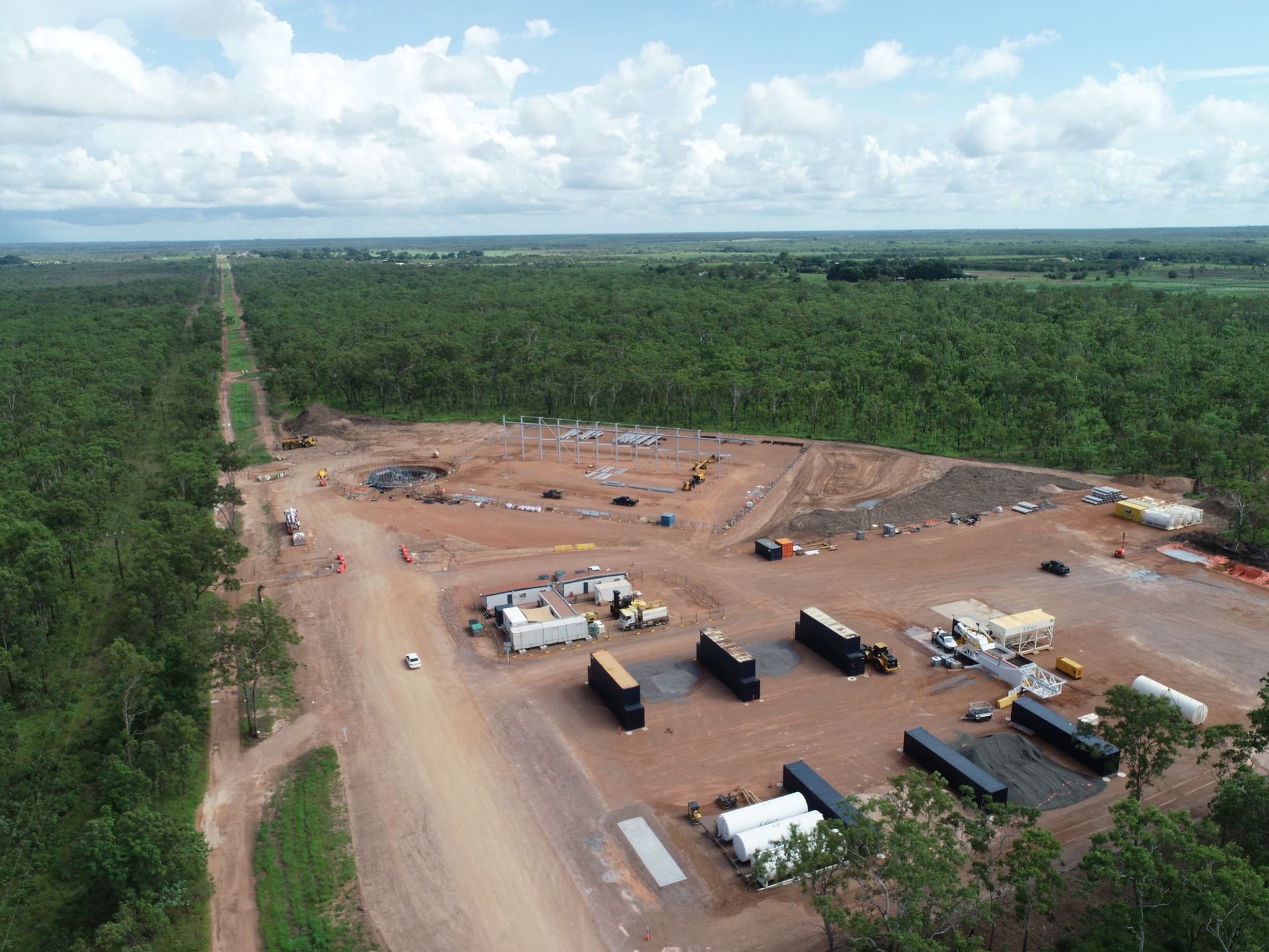
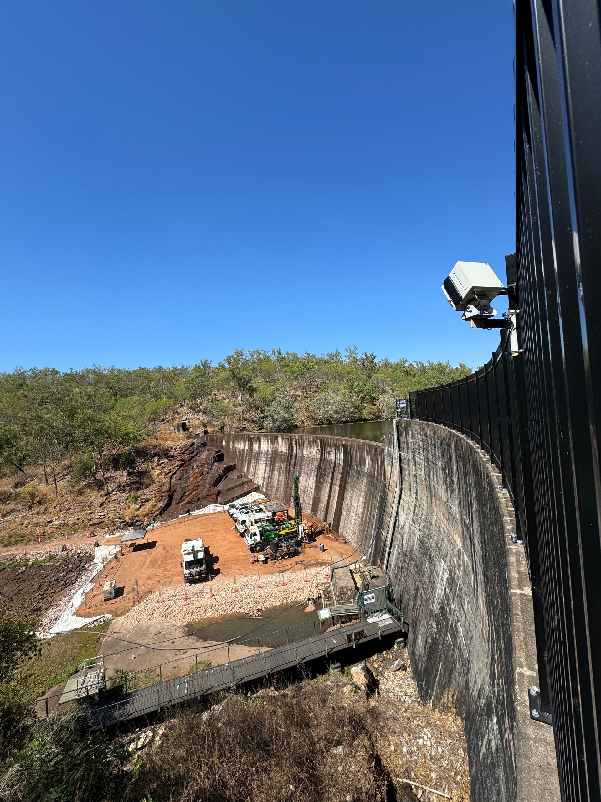
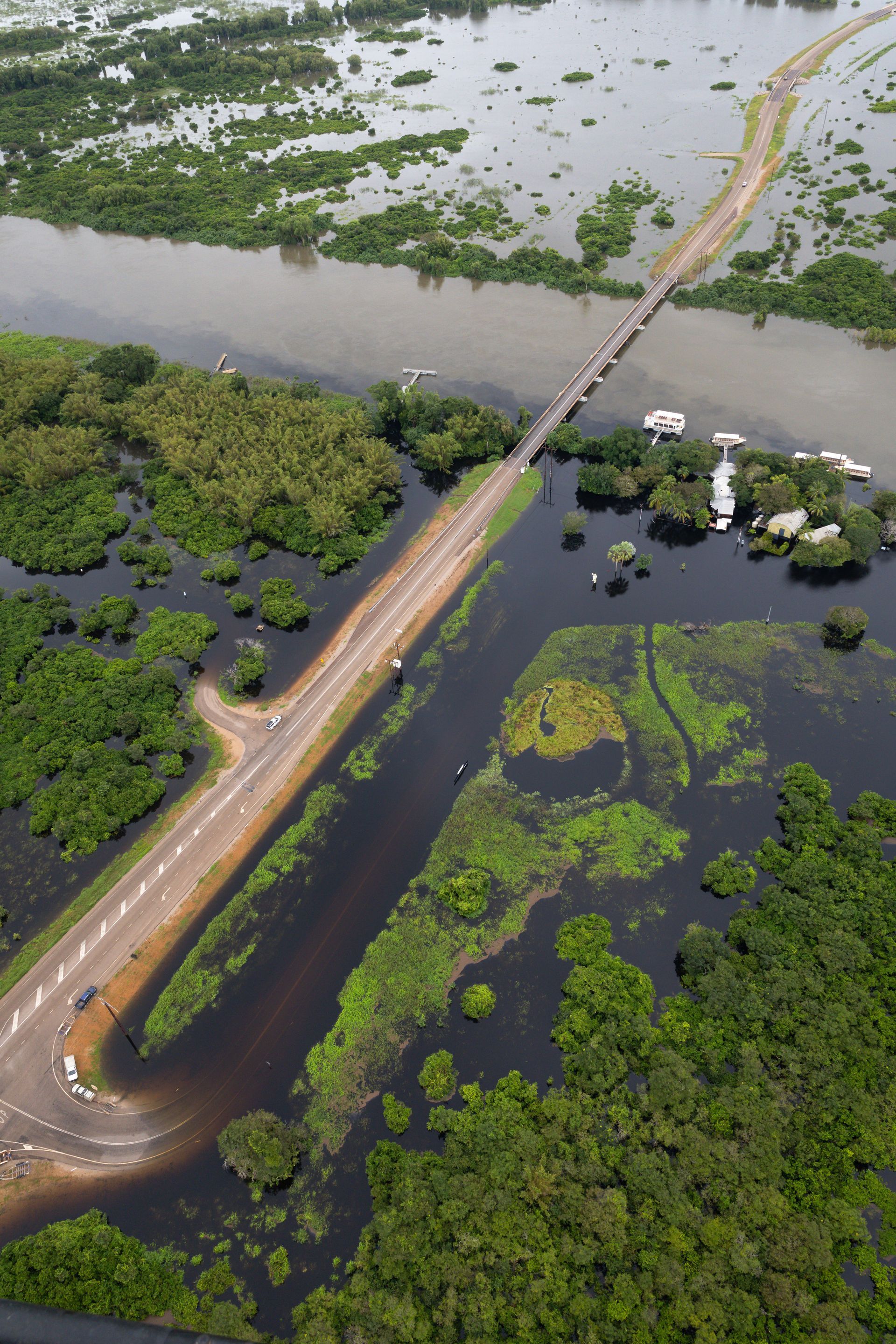
CASE STUDIES: Darwin Harbour | Manton Dam | Darwin River Dam | Waste ponds | Ghost nets | Marrara flood monitoring
SERVICES: Aerial inspections | Bathymetric surveys | Orthomosaic mapping | Remote site monitoring | Underwater inspections
Unmanned Surface Vehicles (USVs) and Remote Operated Vehicles (ROVs) have revolutionised hydrological surveying by providing a safe, efficient, and cost-effective alternative to traditional, manned boat-based methods.
These watercraft operate autonomously or via control carrying advanced sensors to map water bodies, 3D model underwater terrain and analyse water quality particularly in shallow, hazardous or hard-to-reach areas.
Rise primarily provides sonar (single beam or multi beam) bathymetric surveys to collect high-resolution data on water depth, submerged terrain and seafloor characteristics. However, we also use a range of USV’s, ROVs, LiDAR scanners and a 5.3m Rib to provide custom and hybrid data capture solutions to inform a variety of hydrological modelling needs.