Client: Anindilyakwa Land Council (ALC)
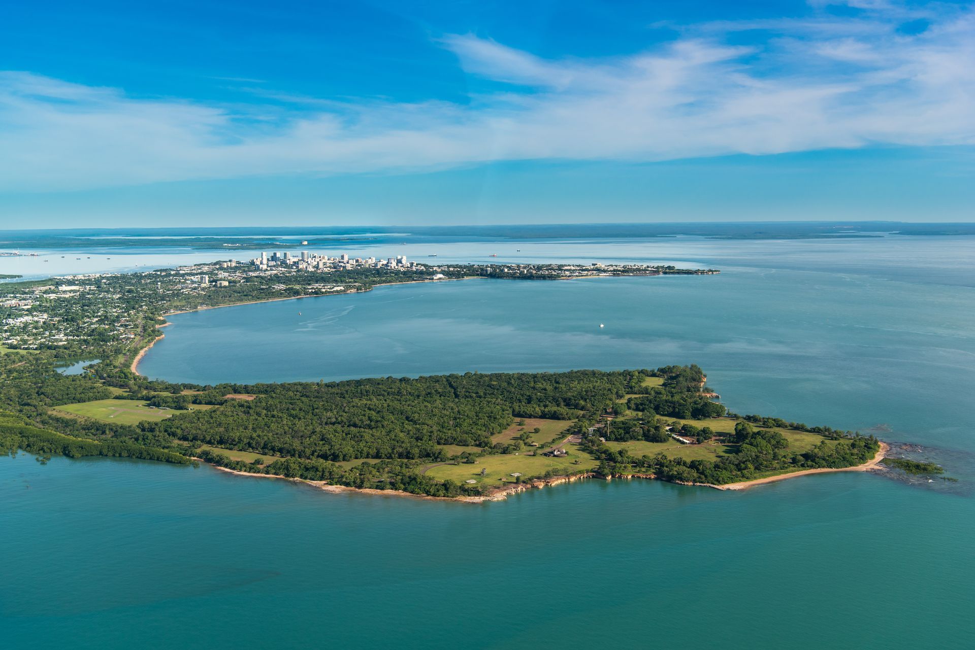
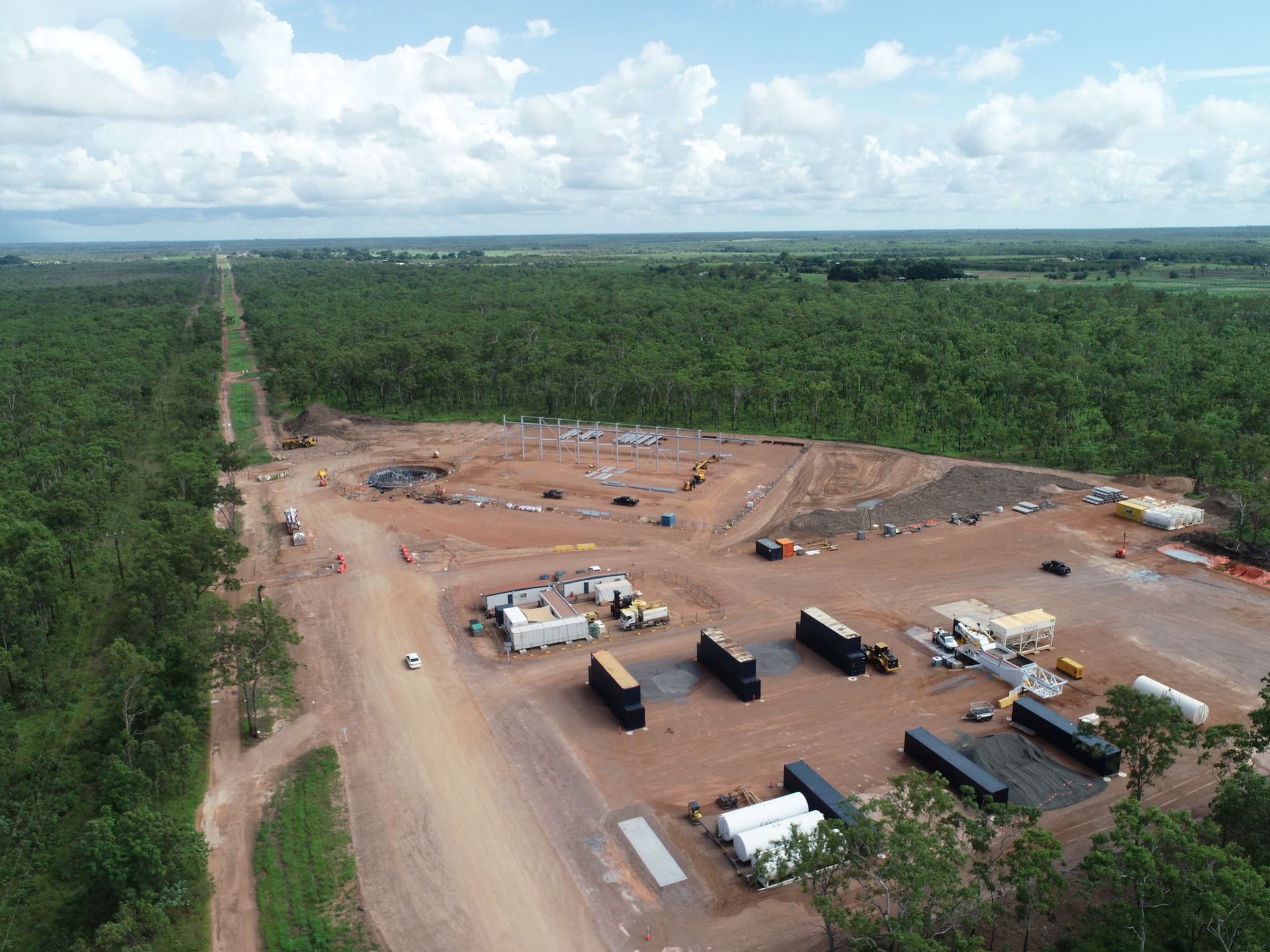
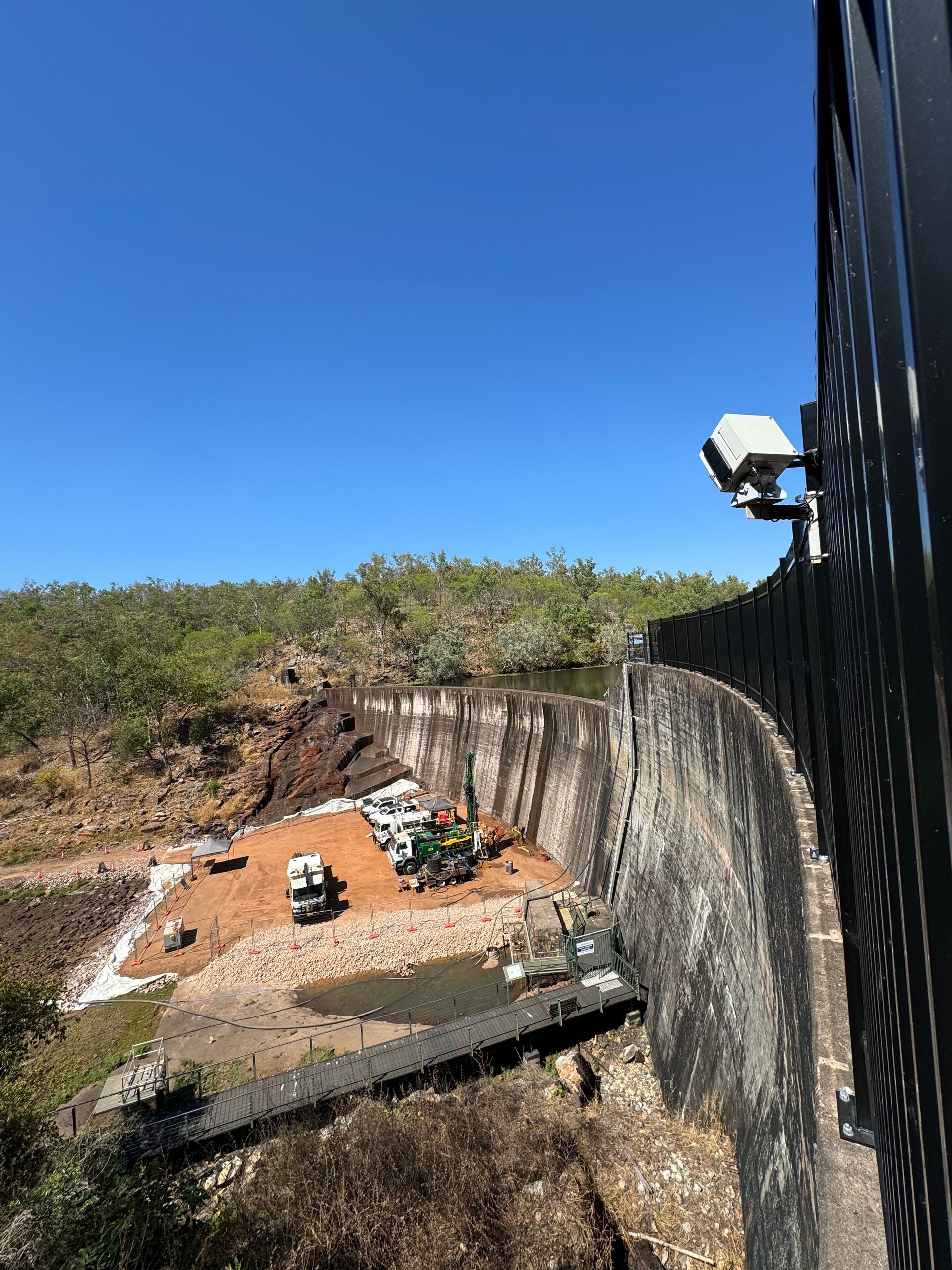
Anindilyakwa Land Councils manages a large range of assets on Groote Eylandt - an island 650kms from Darwin. These include cultural centres, music studios, ranger houses, warehouses and men’s sheds. These assets need to be inspected, scoped and assessed by insurance agencies, architects and contractors; which due to Groote Eylandt’s isolation is expensive and time consuming.
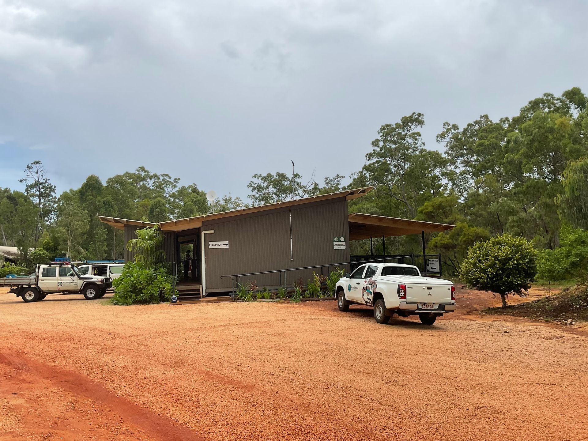
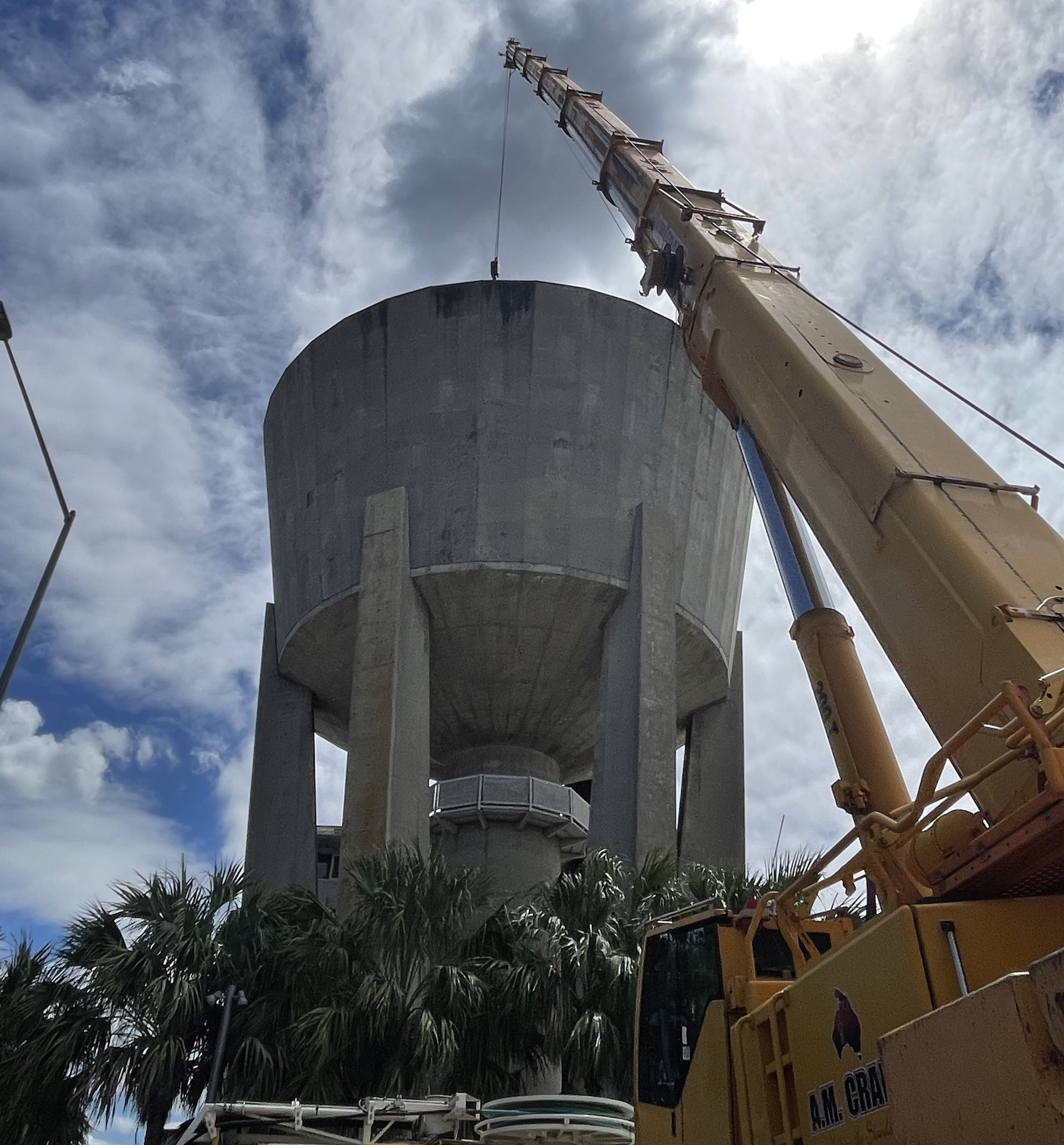
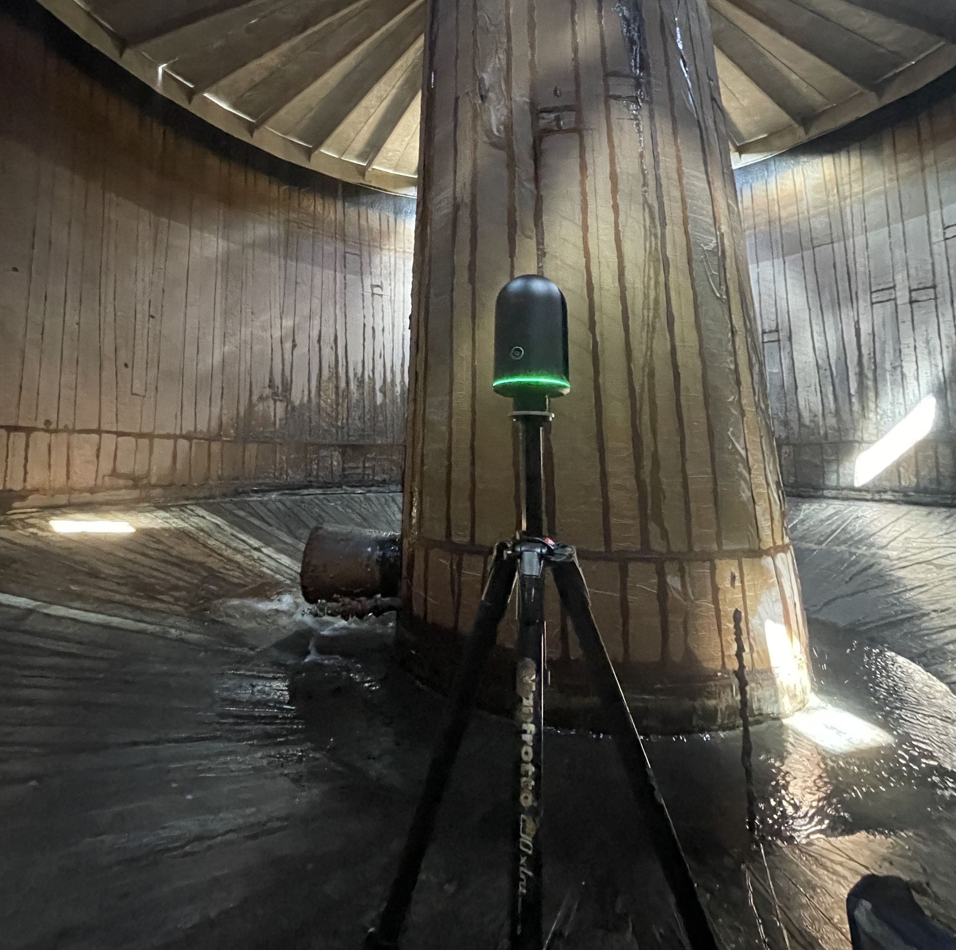
Rise was engaged by ALC to create virtual tours and capture data sets of all these assets to reduce the need for external contracts to travel to site. Rise used lidar scanners, UAV drones and DLSR cameras to create virtual tours, to generate floor plans and capture point cloud data of all 53 assets to allow third parties to virtually assess and inspect the assets.
Where Rise was unable to scan an asset, Rise’s construction expertise meant we were able to manually generate floors plans using traditional methods.
The outcome of the project was the creation of a comprehensive asset data set that can be used for future scoping, assessment and inspection works.