Client: Land Council
Large-scale marine ghost net identification and mapping survey
"In a significant stride towards preserving the pristine beauty of the Tiwi Islands, the Tiwi Land Council embarked on a groundbreaking mission - a Ghost net survey."
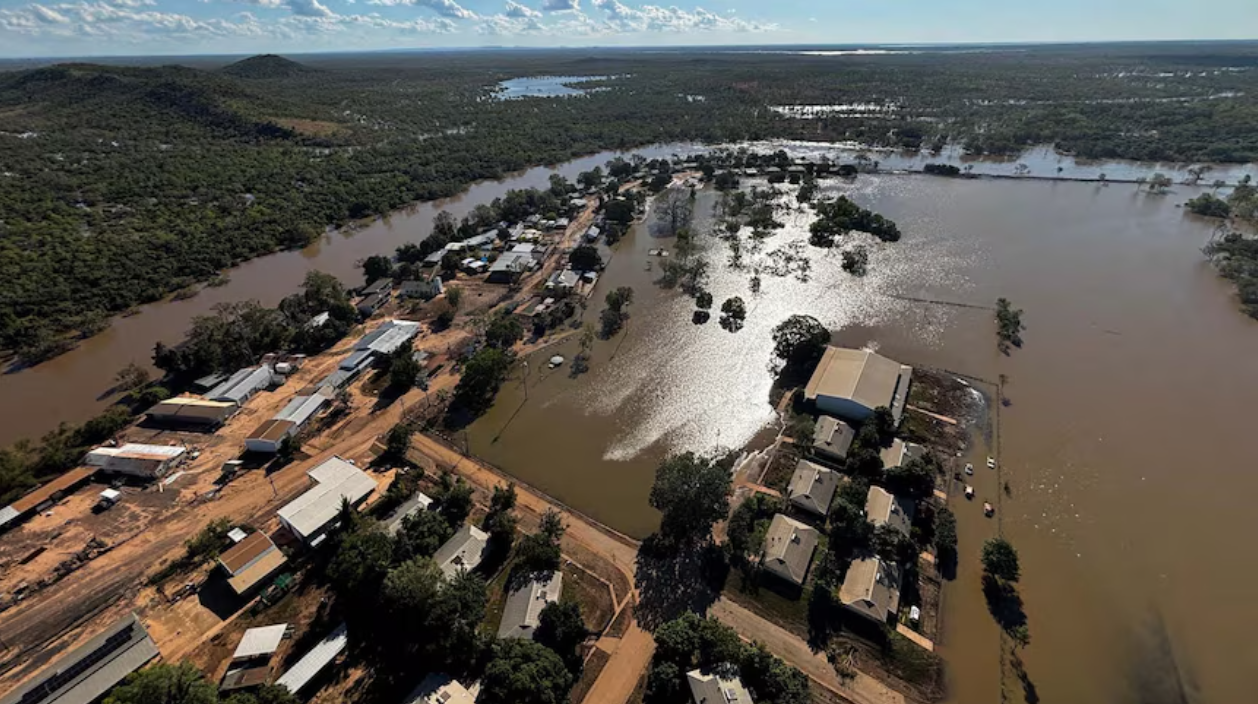
Rise used UAV aerial drones, DSLR cameras and a submersible ROV to capture visual data both above and below the water along the entire Tiwi Island’s coastline. The surveys were conducted over three long days in the field.
The survey highlighted the severity of the ghost net issue and identified previously undiscovered nets and marine debris. Tiwi Land Council will use the comprehensive dataset to work with the Tiwi Island Rangers to develop informed strategies for the removal and disposal of ghost nets.
The visual documentation will be used to prioritise interventions, and for ongoing monitoring to track changes in the prevalence of ghost nets, and the effectiveness of conservation initiatives.