Our client is a for-purpose organisation providing supported accommodation for people with disabilities and high support needs.
They currently manage houses in Darwin and Katherine and are in the process of building new houses in Alice Springs.
Rise was engaged to visualise both the constructed houses and future houses to enable clients, carers, support staff, leadership and stakeholders to virtually visit, inspect and manage the houses.
Rise provided a variety of services:
Pre constructed houses
Rise created photo realistic digital twins of the futures houses from the Floor Plans and Finish Schedules (see main picture).
The digital twin provided the client with a fully immersible 3D model for staff, clients and stakeholders to virtually walk-through from anywhere in the world.
Constructed houses
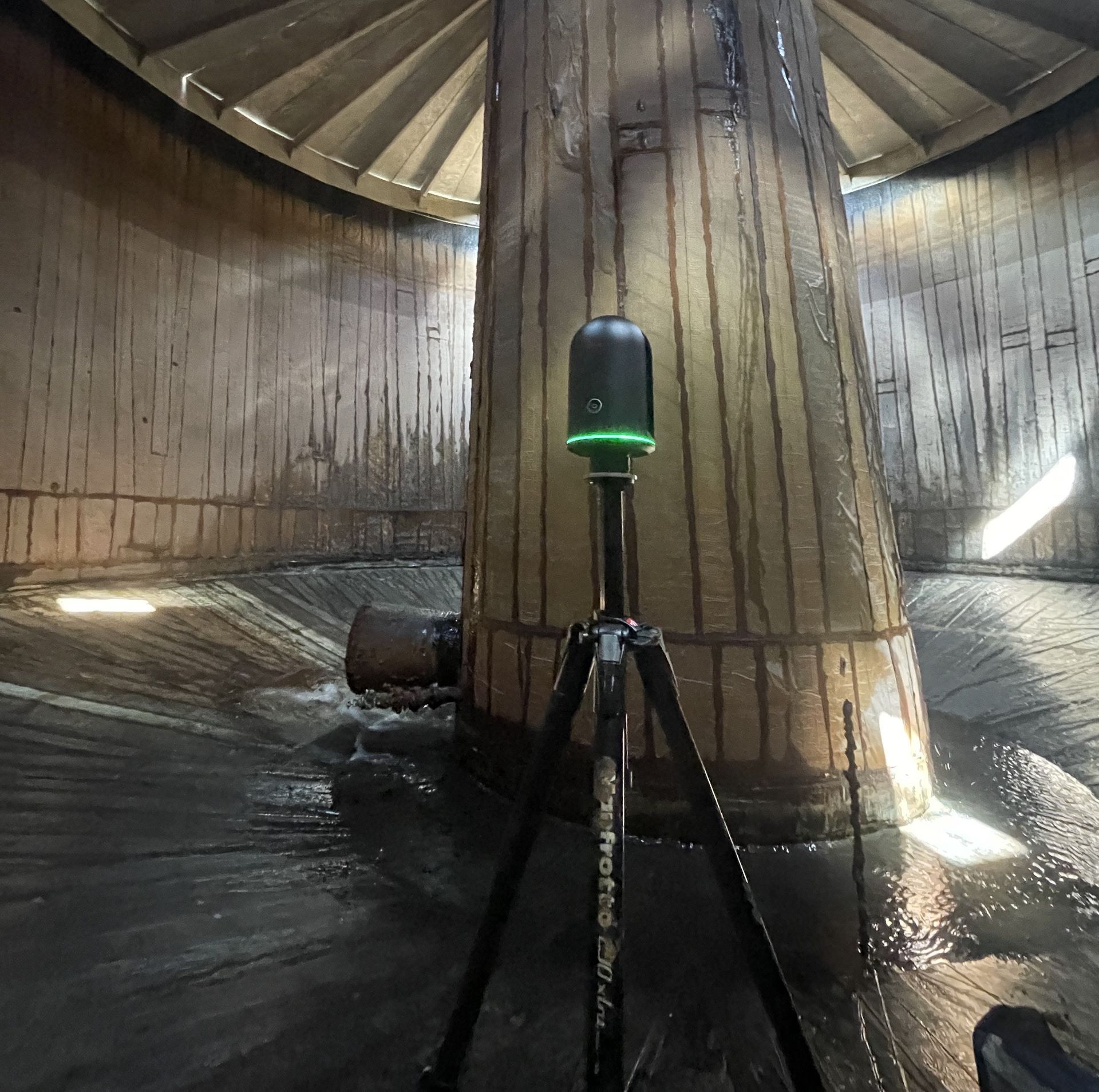
Rise undertook LiDAR scans of all the houses to generate high-resolution digital twins, including in-model measurement tools, virtual tours, floor plans and room quantity take offs.
Rise also 3D printed all the houses as a vital engagement and planning tool.
Thessally Resources are undertaking exploration drilling and bulk testing within the existing Huandot Pit, located approximately 85km south of Darwin.
The existing Huandot Pit contains surface water and groundwater inflows and had been sedentary.
Rise was engaged to undertake a bathymetric survey of the test pit surface water to provide Thessally with comprehensive water volume and sedimentation modelling.
Rise used dual frequency analysis to measure both the sediment and rock bed depths to provide a comparative analysis of sediment depth variations.
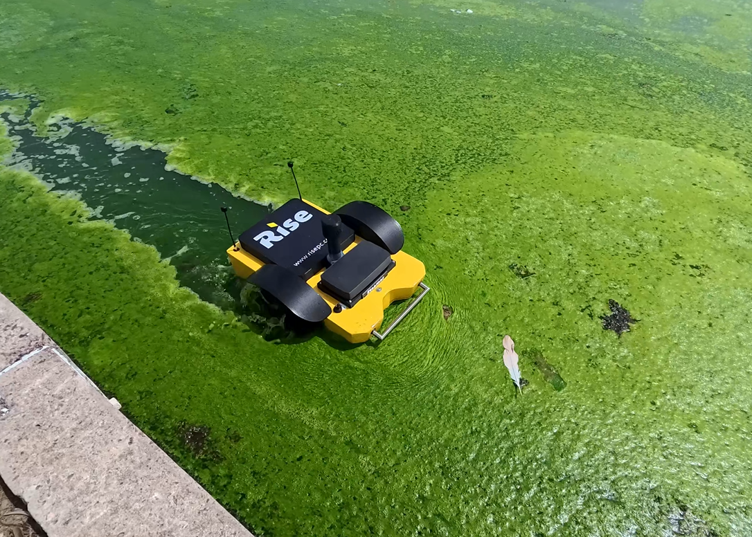
The analysis used dual frequency bathmetric survey data, XYZ coordinate date and water surface level measurement using a USV (unmanned surface vehicle).
Deliverables:
-Water volume report
-Sediment report
-Interactive visual model.
Thessally Resources are undertaking exploration drilling and bulk testing within the existing Huandot Pit, located approximately 85km south of Darwin.
The existing Huandot Pit contains surface water and groundwater inflows and had been sedentary.
Rise was engaged to undertake a bathymetric survey of the test pit surface water to provide Thessally with comprehensive water volume and sedimentation modelling.
Rise used dual frequency analysis to measure both the sediment and rock bed depths to provide a comparative analysis of sediment depth variations.
The analysis used dual frequency bathmetric survey data, XYZ coordinate date and water surface level measurement using a USV (unmanned surface vehicle).
Deliverables:
-Water volume report
-Sediment report
-Interactive visual model.
Rise respectfully acknowledges the Traditional Owners of Country throughout Australia and their continuing connection to lands, waters, and communities.
We pay our respect to Aboriginal and Torres Strait Island cultures, and the evolving cultures of all First Nations people we work with.
We love using our technology to solve problems, so please feel free to get in touch for a chat!
steve@risepc.com.au
anna@risepc.com.au
Visit us:
3/29 Rossiter St,
Rapid Creek NT 0810
Give us a call: