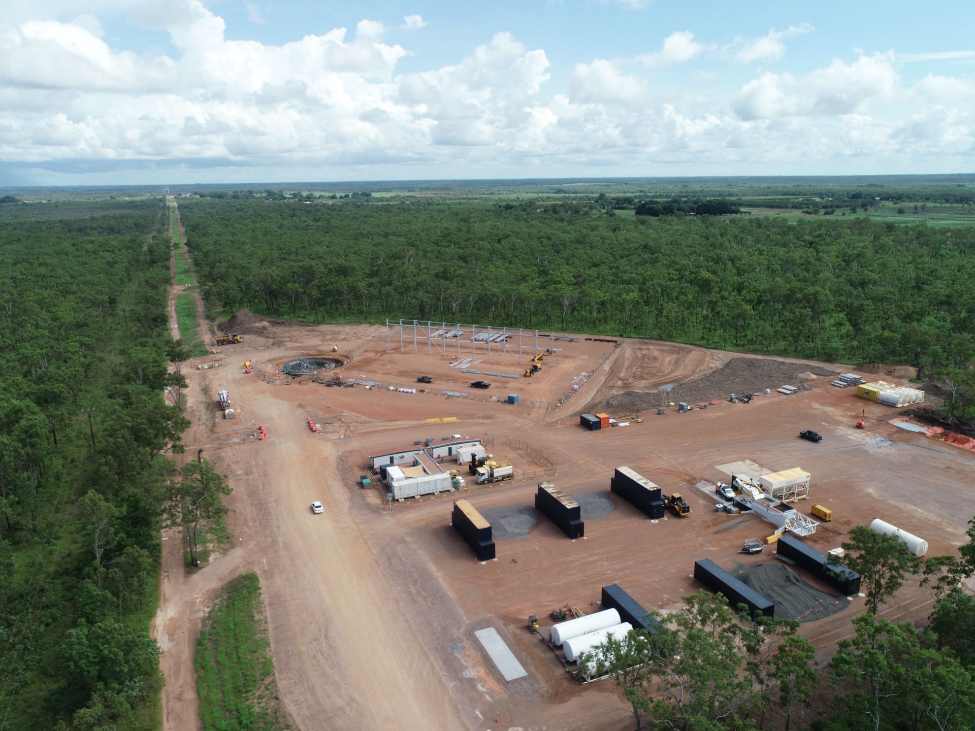

Treatment Plant; Dam Pump Station
Rise provides remote-access, high-resolution (4k) timelapse footage of construction sites.
Rise PC uses a DSLR camera housed in a custom-built tropical, weatherproof housing that provides high quality images, with it's own powersource.
Rise PC manage all installation and maintenance logistics, including traffic management and boom lift operations.
The cameras provide PWC has 24/7 access to the still and video footage of each site in real-time with one simple login to an online platform and the ability to easily create a time-lapse video at any time.
Rise provides remote camera services to several Territory and national clients who need to monitor remote sites that are managed remotely either in Darwin, Alice or interstate.
Thessally Resources are undertaking exploration drilling and bulk testing within the existing Huandot Pit, located approximately 85km south of Darwin.
The existing Huandot Pit contains surface water and groundwater inflows and had been sedentary.
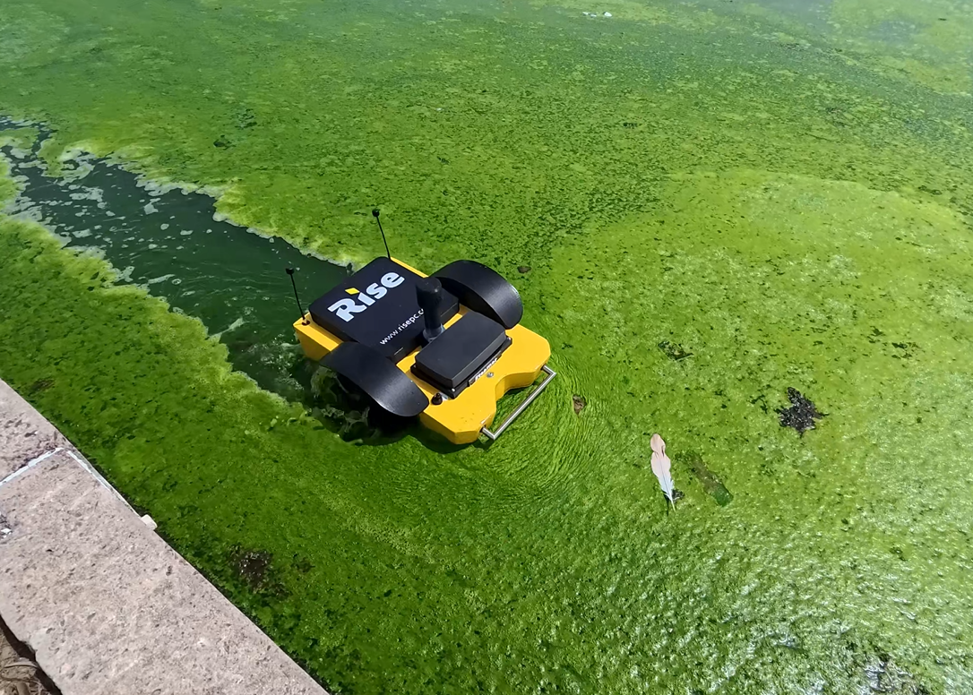
Rise was engaged to undertake a bathymetric survey of the test pit surface water to provide Thessally with comprehensive water volume and sedimentation modelling.
Rise used dual frequency analysis to measure both the sediment and rock bed depths to provide a comparative analysis of sediment depth variations.
The analysis used dual frequency bathmetric survey data, XYZ coordinate date and water surface level measurement using a USV (unmanned surface vehicle).
Deliverables:
-Water volume report
-Sediment report
-Interactive visual model.
Thessally Resources are undertaking exploration drilling and bulk testing within the existing Huandot Pit, located approximately 85km south of Darwin.
The existing Huandot Pit contains surface water and groundwater inflows and had been sedentary.
Rise was engaged to undertake a bathymetric survey of the test pit surface water to provide Thessally with comprehensive water volume and sedimentation modelling.
Rise used dual frequency analysis to measure both the sediment and rock bed depths to provide a comparative analysis of sediment depth variations.
The analysis used dual frequency bathmetric survey data, XYZ coordinate date and water surface level measurement using a USV (unmanned surface vehicle).
Deliverables:
-Water volume report
-Sediment report
-Interactive visual model.
Rise respectfully acknowledges the Traditional Owners of Country throughout Australia and their continuing connection to lands, waters, and communities.
We pay our respect to Aboriginal and Torres Strait Island cultures, and the evolving cultures of all First Nations people we work with.
We love using our technology to solve problems, so please feel free to get in touch for a chat!
steve@risepc.com.au
anna@risepc.com.au
Visit us:
3/29 Rossiter St,
Rapid Creek NT 0810
Give us a call: