Waste water pond mapping

Waste water pond mapping

Client: Utilities


Rise has innovated tropical waste stabilisation pond (WSP) sludge management

Aerial view of remote NT waste stablisation pond with bathymetric survey data overlaid.

Over the past 4 years Rise innovated remote NT WSP surveys and sludge management practices and technology.


The unique tropical conditions of the majority of NT WSP’s (no inlet works, high organic and inorganic debris) mean off-the shelf USV's are not suitable or effective for mapping WSP sludge in Northern Australia. 


Rise has successfully designed and developed a USV specifically for remote, high debris, tropical waste water conditions, which we combine with our other technology to provide our clients with powerful data to manage WSP; desludging programs and capital works programs:


- Digital bathymetric survey of full lagoons to assess sediment depth and volume – to inform capital works; sludge management; compliance with Discharge Licence.

- Aerial imagery to monitor lagoon emptying process and progress.

- 3D modelling of empty lagoon to accurately measure the volume of the lagoon. 

Rise undertook extensive research and testing to find a bathymetric USVs (unmanned service vehicle) that would be able to withstand the climatic extreme’s of the Territory and provide PWC with the most effective, efficient and accurate datasets. 


The success of Rise’s development is they now provide full waste water lagoon services, across the Territory, that include bathymetric sediment assessments, aerial monitoring of lagoon emptying and orthomosaic mapping of the empty lagoons for volume measurement.

Rise undertook extensive research and testing to find a bathymetric USVs (unmanned service vehicle) that would be able to withstand the climatic extreme’s of the Territory and provide PWC with the most effective, efficient and accurate datasets. 


The success of Rise’s development is they now provide full waste water lagoon services, across the Territory, that include bathymetric sediment assessments, aerial monitoring of lagoon emptying and orthomosaic mapping of the empty lagoons for volume measurement.

By Anna Goat • October 29, 2026
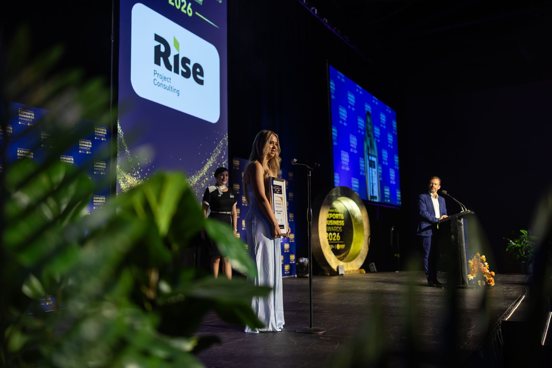
From winner to sponsor
By Anna Goat • October 5, 2026
The power of relationships
By Anna Goat • September 28, 2026
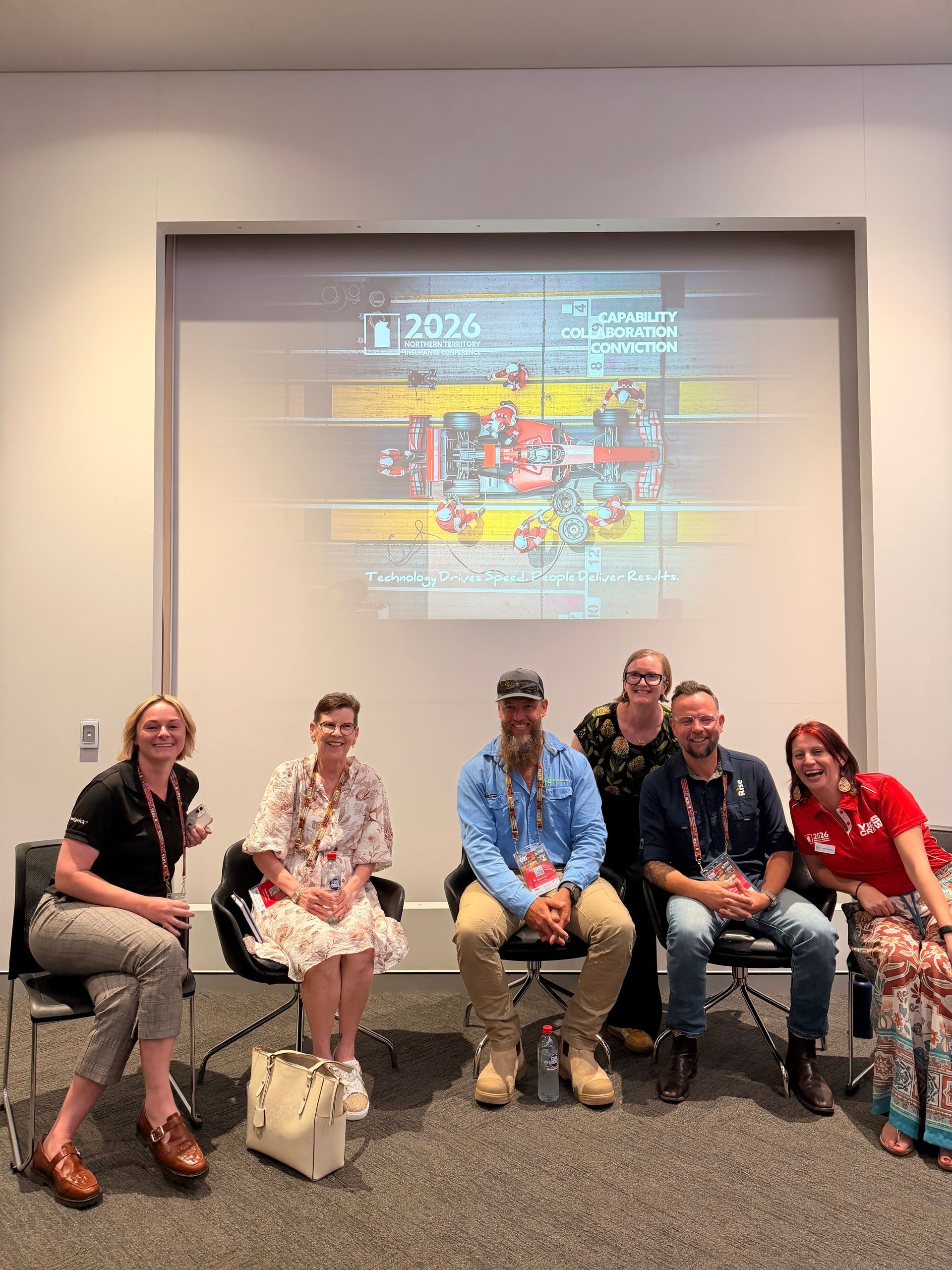
Client: Insurance
By Anna Goat • September 4, 2026
Why we invest in our community
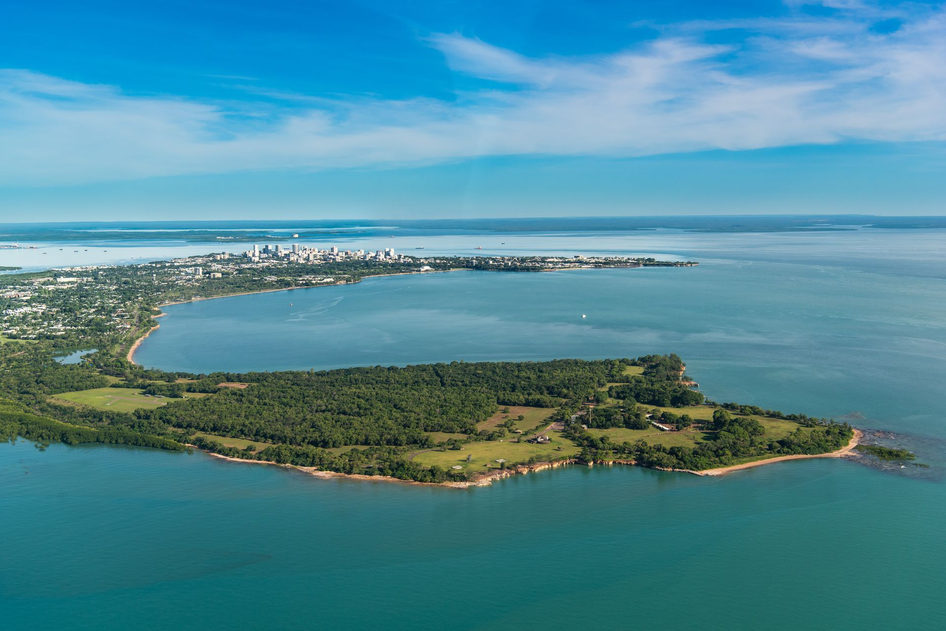
Rise undertaking bathymetric survey of Darwin Harbour with channel cross sections.
By Anna Goat • April 7, 2026
USV and ROV drones for hydrological surveys
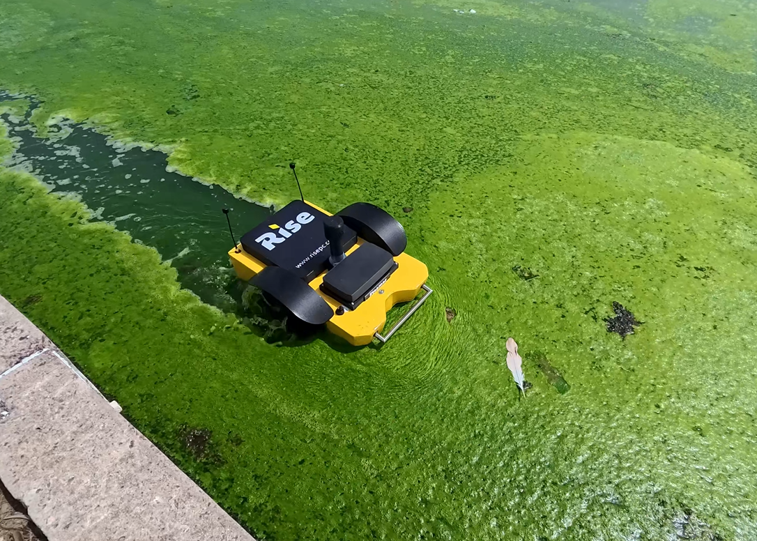
Rise's custom built USV unmanned surface vehicle cutting through organic matter in a waste stablisation pond.
By Anna Goat • April 7, 2026
Tropical tough technology
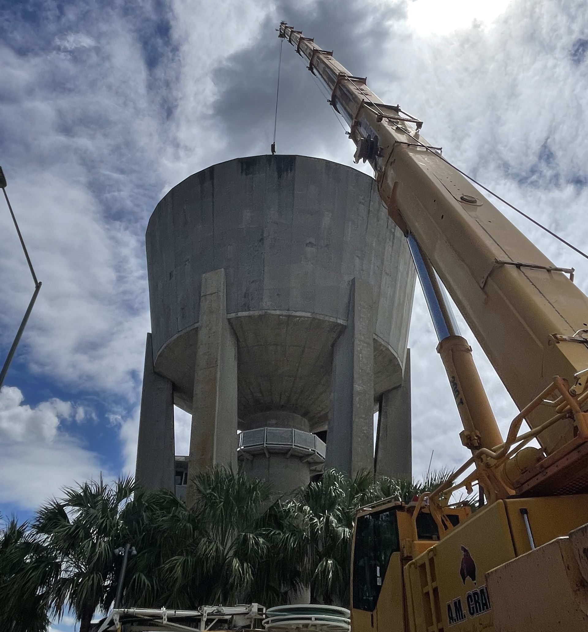
Picture of large water tank with a crane Rise going inside to do digital twin.
By Anna Goat • April 7, 2026
Safer, faster, accurate and more-cost effective.
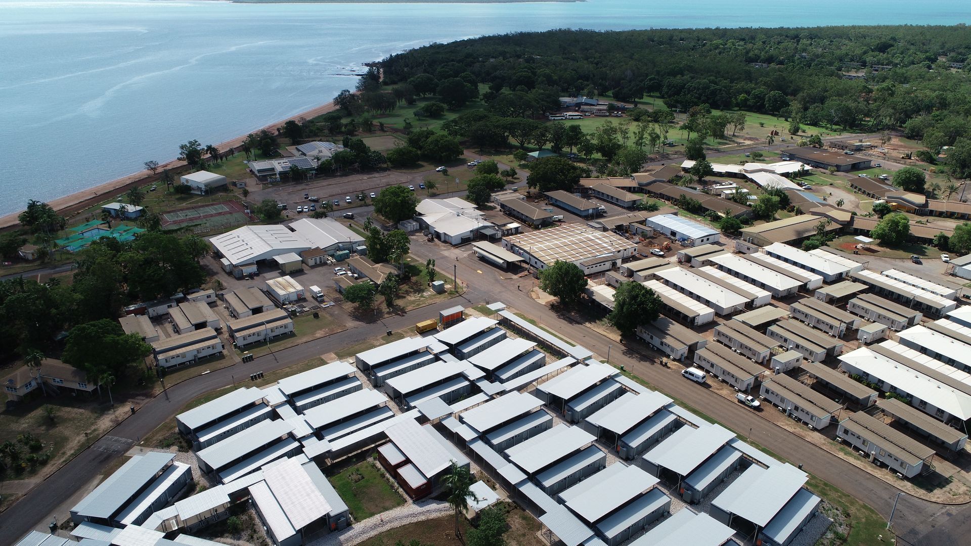
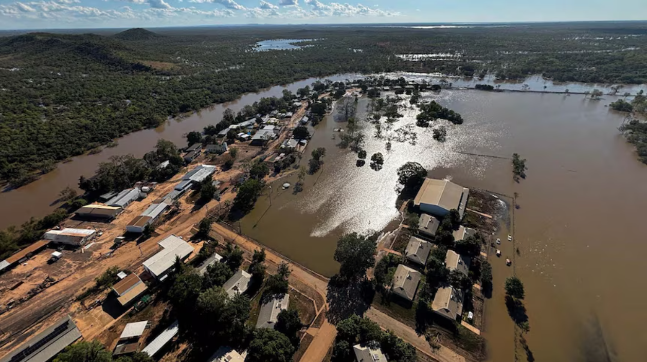
Aerial image of workers accommodation on remote NT island taken by Rise during an asset inspection.
By Anna Goat • April 7, 2026
Simpler, more effective and efficient asset management
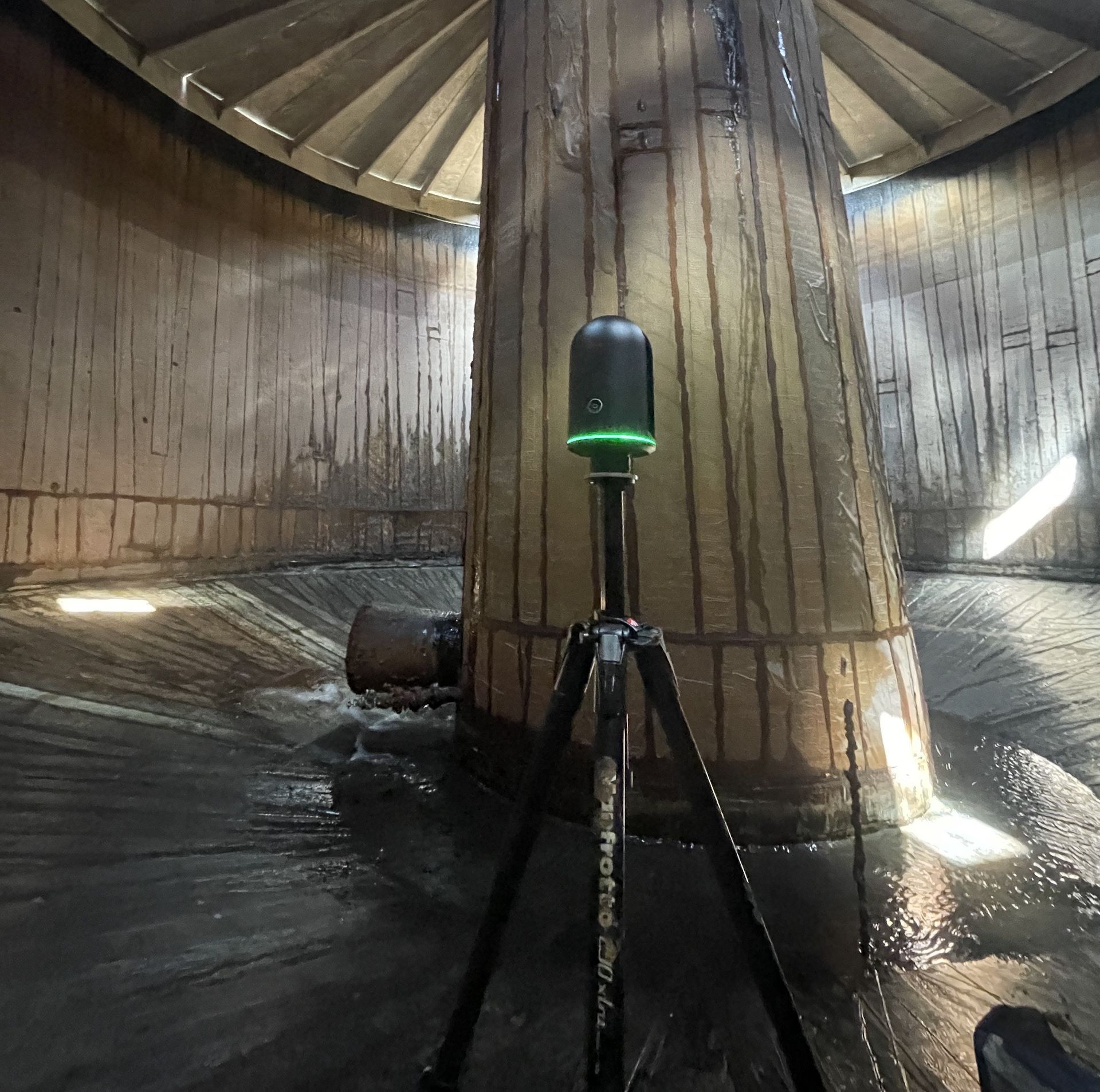
LiDAR scanner inside a large water tank to capture a digital twin of the tank interior.
By Anna Goat • April 3, 2026
Client: Utilities
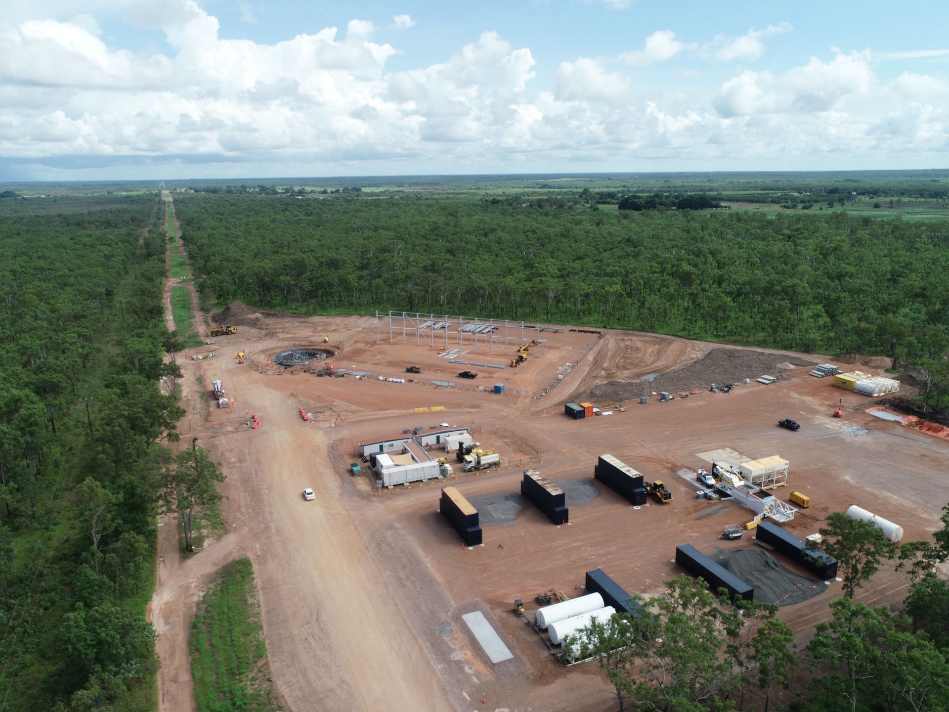
Aerial view of construction site and infrastructure corridor mapped by Rise.
By Anna Goat • April 3, 2026
Client: Utilities